Catalog Archive
Auction 124, Lot 417
"The Course of the River Thames, from it's Source to the Sea", Cooke, John
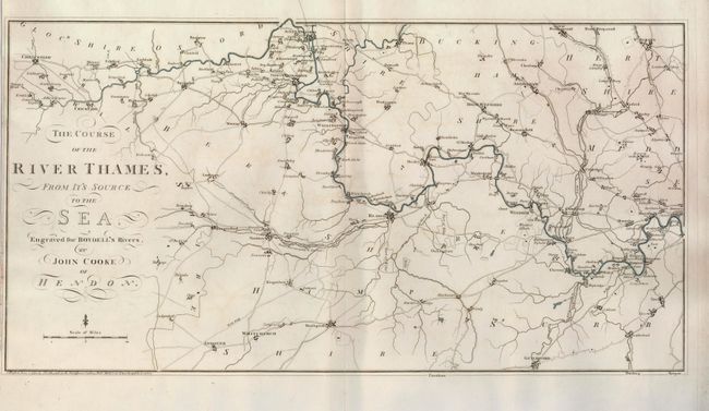
Subject: England
Period: 1795 (dated)
Publication: Boydell's Rivers
Color: Hand Color
Size:
23 x 12 inches
58.4 x 30.5 cm
Download High Resolution Image
(or just click on image to launch the Zoom viewer)
(or just click on image to launch the Zoom viewer)