Catalog Archive
Auction 124, Lot 346
"The Bahamas on Mercator Projection", Stanford, Edward
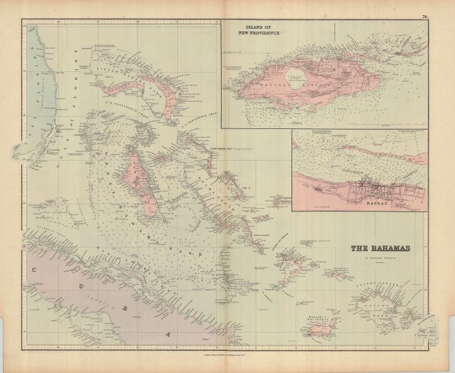
Subject: Bahamas
Period: 1890 (circa)
Publication:
Color: Hand Color
Size:
24 x 19.6 inches
61 x 49.8 cm
Download High Resolution Image
(or just click on image to launch the Zoom viewer)
(or just click on image to launch the Zoom viewer)