Catalog Archive
Auction 124, Lot 345

"Carte des Isles Situees au Nord de St. Domingue…", Bellin, Jacques Nicolas
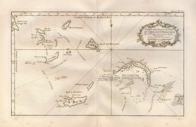
Subject: Bahamas

Period: 1763 (dated)

Publication: Petite Atlas

Color: Black & White

Size:
15 x 9 inches
38.1 x 22.9 cm
Download High Resolution Image
(or just click on image to launch the Zoom viewer)

Copper engraved chart of the Turks and Caicos Islands, including the southeast end of Long Island. Isle de la Fortune, Isle de Samana, Isle de Krooked, I. d'Aklin, Isle d'Inague, La Petite Inague, Isles Plates, Isle de Magone, and Les Cayques & Le Mouchoir Carre are named. Numerous soundings and rock hazards are noted in Caicos. The map is embellished with a fleur-de-lys compass and a rococo-style title cartouche.

References:

Condition: B+

With full margins and large watermark. Crisp impression with a little light foxing.

Estimate: $200 - $300

Sold for: $80

Closed on 5/7/2008

Archived