Catalog Archive
Auction 124, Lot 339

"The West Indies", Charles, J.
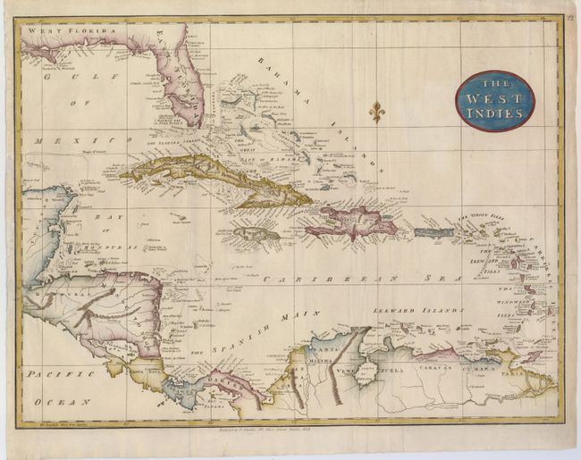
Subject: Caribbean

Period: 1814 (dated)

Publication:

Color: Hand Color

Size:
18.5 x 13.8 inches
47 x 35.1 cm
Download High Resolution Image
(or just click on image to launch the Zoom viewer)

This is an uncommon and detailed map of the Caribbean. The map shows the area from the Florida peninsula to the mouth of the Mississippi on the Gulf Coast, and extends to include a portion of Central America and the northern coast of South America. The map locates hazards, banks, and ports with a delicate fleur-de-lys orienting north.

References:

Condition: B

Handsome later color on a map with some folds as issued and a couple of creases. There is a small hole in the lower left corner of the map near the A in Ocean. A binder's tear just past the border on the left of the map has been repaired. The top, blank margin has some short repaired tears.

Estimate: $200 - $250

Sold for: $275

Closed on 5/7/2008

Archived