Catalog Archive
Auction 124, Lot 271

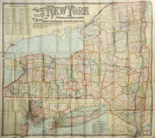
"The National Publishing Company's New Railroad, Post Office, Township and County Map of New York with Distances between Stations…", National Publishing Co.

Subject: New York

Period: 1902 (dated)

Publication:

Color: Printed Color

Size:
44.8 x 40.8 inches
113.8 x 103.6 cm
Download High Resolution Image
(or just click on image to launch the Zoom viewer)

This huge and beautifully colored linen-backed pocket map folds into original accordion covers. The map, produced from the latest government, state, and private surveys, carries remarkable detail at 7.5 miles per inch. An extensive list of all railroads names 70 lines and gives the mileage along their various routes. Large insets show New York City and Long Island. At lower left is a table that gives population by county, distance between numerous cities, and the historical population from 1790 to 1900. Decorative Victorian-style titling and full keyboard-style border embellish the map. The brown pebbled hard covers are gilt-stamped.

References:

Condition: A+

The map is fine with bright color and strong impression. The boards are also near fine with just a little bumping at some corners.

Estimate: $100 - $200

Sold for: $50

Closed on 5/7/2008

Archived