Catalog Archive
Auction 124, Lot 253

"Map of the Outlet of Lake Muskegon Michigan", U.S. Corps of Engineers

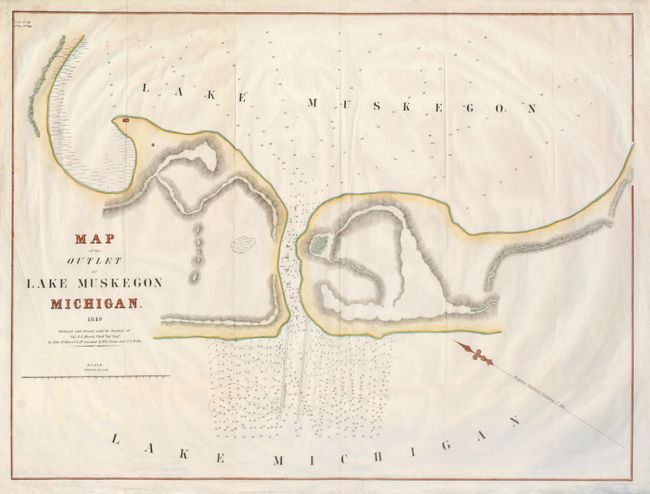
Subject: Michigan, Muskegon

Period: 1849 (dated)

Publication:

Color: Hand Color

Size:
22.3 x 16.8 inches
56.6 x 42.7 cm
Download High Resolution Image
(or just click on image to launch the Zoom viewer)

A scarce chart showing the channel between Lake Muskegon and Lake Michigan in the Lower Peninsula. A couple small structures are indicated within present-day Muskegon State Park. North is located to the upper left corner by the compass, and the soundings are noted throughout, as well as some large, proposed piers. Surveyed by John R. Bowes, W. R. Bowes, and P. L. Wells under Chief Topographical Engineer Colonel Abert.

References:

Condition: B+

Issued folding, now flattened with nice later color. There is a short tear just into the bottom, neatly repaired.

Estimate: $220 - $275

Unsold

Closed on 5/7/2008

Archived