Catalog Archive
Auction 124, Lot 245

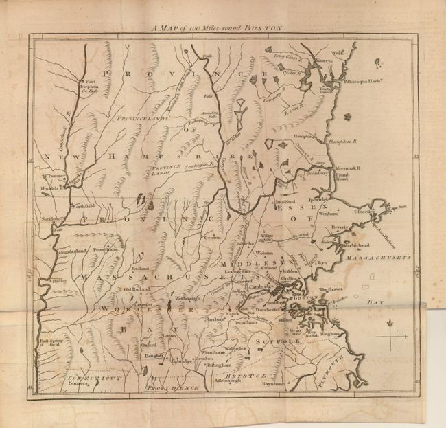
"A Map of 100 Miles round Boston", Anon.

Subject: Boston, Massachusetts

Period: 1775 (published)

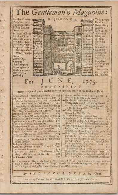
Publication: Gentleman's Magazine

Color: Black & White

Size:
9.7 x 9 inches
24.6 x 22.9 cm
Download High Resolution Image
(or just click on image to launch the Zoom viewer)

Interesting and very early Revolutionary War map extending to the Connecticut River on the west and York and Fort Stephen in the north. The map was issued in June 1775 at the outbreak of hostilities and was intended to inform the British public of the situation. The map is still bound in the Gentleman's Magazine issue, complete with the article titled, "Account of the Proceedings of the American Colonists, since the passing of the Boston Port-Bill." This bill prohibited trade in and out of the harbor until Boston paid the English back for the damage of the Boston Tea Party.

References: Jolly GENT- 234.

Condition: B

Map has some offsetting, else very good.

Estimate: $220 - $300

Sold for: $130

Closed on 5/7/2008

Archived