Catalog Archive
Auction 124, Lot 200

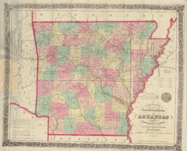
"Colton's Railroad & Township Map of Arkansas Compiled from the U.S. Surveys and Other Authentic Sources By D.F. Shall", Colton, Joseph Hutchins
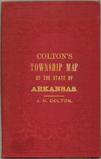
Subject: Arkansas

Period: 1863 (dated)

Publication:

Color: Hand Color

Size:
30 x 25 inches
76.2 x 63.5 cm
Download High Resolution Image
(or just click on image to launch the Zoom viewer)

This is a scarce pocket map of the state of Arkansas based on the United States surveys and compiled by D. F. Shall. Originally published in 1854 by J. H. Colton, this is the 1863 issue published by G. W. Colton. It details the railroads, roads, cities and topography with county configurations updated to 1859. The land districts and land offices are named in a key to the right. The map is surrounded by an elaborate floral border, and the seal of the state of Arkansas sits above the fancy title. The map folds into the original red cloth boards ornamented with embossing and a gilt title. The front paste-down is an advertisement for G. W. Colton's company and lists several maps for sale. No record of sales found this map in 20 years of records.

David F. Shall was a major in the Confederate Army during the Civil War. After the war he was instrumental in the reconstruction of government in Arkansas, including this important survey. He joined with W.B. Worthen in a real estate agency in 1869. Most notably he was an accidental fatality in the Brooks-Baxter War in 1874, which was an infamous political struggle between factions of the Republican Party over the governor's office of Arkansas. A scarce pocket map in exceptional condition.

References: Modelski #182.

Condition: A+

The map has nice original color, a fine impression and full margins. One small fold intersection split and a little extra creasing, still fine. Covers are also fine with just a little sunning on spine.

Estimate: $400 - $600

Unsold

Closed on 5/7/2008

Archived