Catalog Archive
Auction 124, Lot 159

"Seno Mejicano Hoja II. Parte Setentrional…", Direccion de Hidrografia

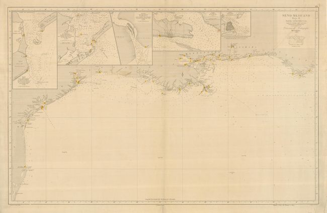
Subject: Southern United States - Gulf of Mexico

Period: 1874 (dated)

Publication:

Color: Hand Color

Size:
37.3 x 23.8 inches
94.7 x 60.5 cm
Download High Resolution Image
(or just click on image to launch the Zoom viewer)

This is a very uncommon sea chart describing the Gulf Coast along the states of Texas, Louisiana, Mississippi, Alabama and a small portion of Florida. The map is inset with small charts of Matagorda Bay, Galveston Bay, the mouth of the Sabine River, Biloxi Bay, and San Luis Pass. The mouth of the Mississippi is well charted with the city of New Orleans and Lake Ponchartrain, and there is good detail of the bays of Mississippi, Mobile and Pensacola. The chart notes soundings, hazards and lighthouses, which have been hand colored in red and yellow. Originally issued in 1867, this example is updated to 1874. Embossed with the stamp of the Direccion de Hidrografia in Madrid. Spanish sea charts are among the finest, and scarcest of all working charts. They are rarely offered on the market.

References:

Condition: B

Quite good condition for a working sea chart. There is a faint remnant of a penciled track to the mouth of the Mississippi, and a few light spots. There is a tiny repaired hole in an unengraved portion of the ocean, about in the middle of the map. The margins have some tears, including a 1.5" at top, that have been reinforced on the verso; most do not affect the map.

Estimate: $2,000 - $2,500

Unsold

Closed on 5/7/2008

Archived