Catalog Archive
Auction 124, Lot 143

"[Lot of 2] United States",

Subject: Eastern United States

Period: 1837-54 (circa)

Publication:

Color: Hand Color

Size:
See Description
Download High Resolution Image
(or just click on image to launch the Zoom viewer)
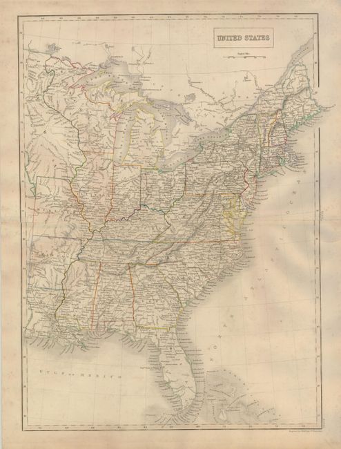
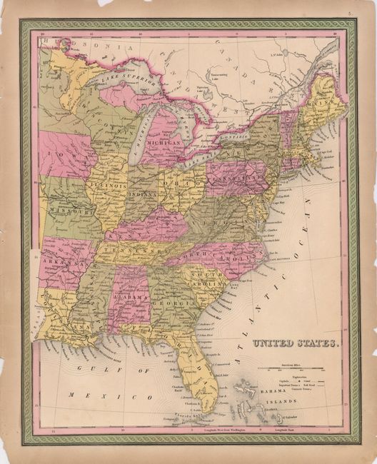
This pair of mid-19th century maps of the early United States provides a good comparison and illustrates the rapid settlement and political development of the Midwest.

1) The first map was engraved by Sidney Hall and published in London. It depicts the United States west to Louisiana, Arkansas, Missouri and Iowa Territory. The Wisconsin Territory extends into present-day Minnesota and the large Iowa Territory reaches to the Canadian border. Michigan is shown in possession of the Upper Peninsula, which was added to Michigan in 1837. The map is filled with detail of early towns, settlements and roads. (14.3 x 19.8")

2) This map was published in the Mitchell/Cowperthwait edition of the Atlas Universal, circa 1854. Iowa and Wisconsin are now states. The region of Minnesota is divided into two unnamed sections. The map shows roads and rail routes, cities and towns. It is surrounded in an attractive frame-like border. (12.5 x 15.8")

References:

Condition: B+

1) Original outline color on a strong sheet with some faint toning. The blank margins have some short tears, repaired on the verso with archival tape. 2) Original color on a sheet with some edge chipping and a couple tears just touching neatline, repaired on the verso with archival tape.

Estimate: $275 - $350

Sold for: $160

Closed on 5/7/2008

Archived