Catalog Archive
Auction 124, Lot 142

"United States", Lothian, John

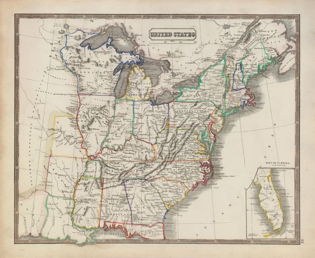
Subject: Eastern United States

Period: 1838 (circa)

Publication:

Color: Hand Color

Size:
13 x 11 inches
33 x 27.9 cm
Download High Resolution Image
(or just click on image to launch the Zoom viewer)

Attractive map showing Louisiana, Arkansas and Missouri as the farthest western states. Alabama and Illinois are still territories, and a large Northwest Territory extends north to encompass Winnipeg. West of the Mississippi River is a huge and largely blank Western Territory United States. An inset of the Florida peninsula at bottom right labels Lake Okeechobee as Lake Macaco. The map was engraved by J. Gellatly.

References:

Condition: A

Very nice impression and original coloring. There is some soiling or toning in margins.

Estimate: $100 - $150

Sold for: $75

Closed on 5/7/2008

Archived