Catalog Archive
Auction 123, Lot 842

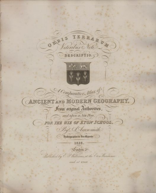
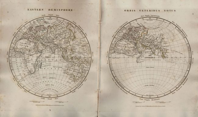
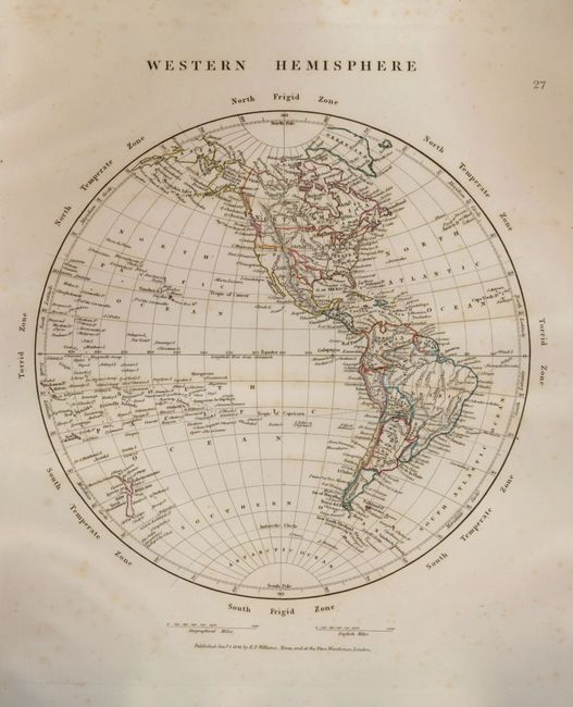
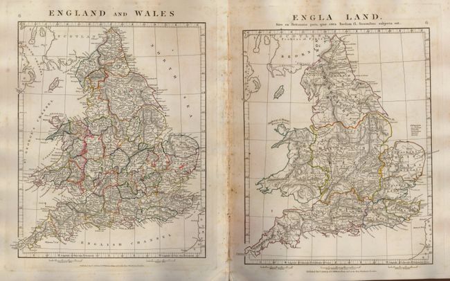
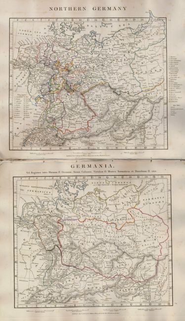
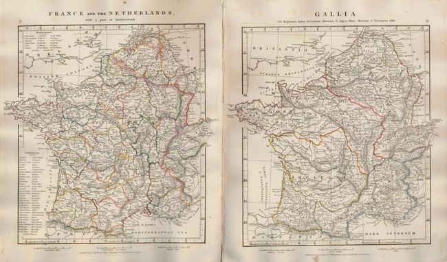
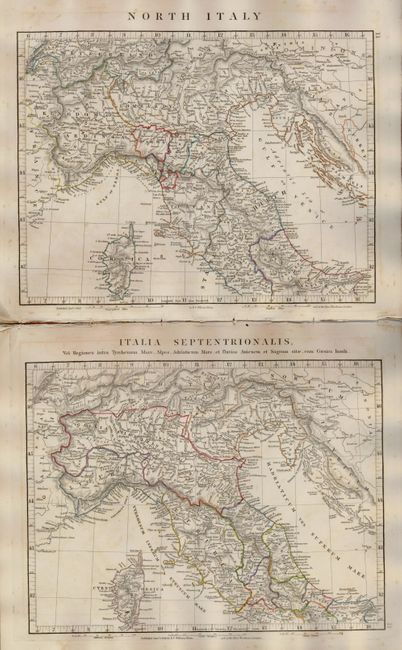
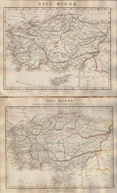
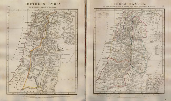
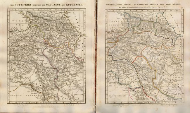
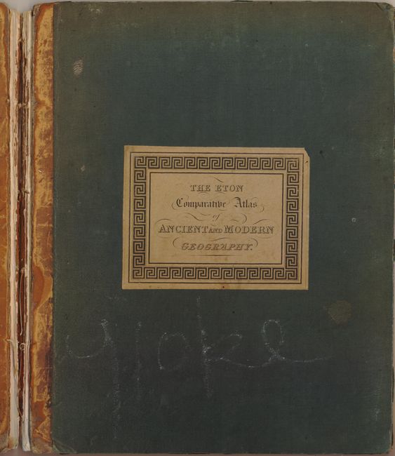
"A Comparative Atlas of Ancient and Modern Geography, from Original Authorities, and upon a New Plan, for the Use of Eton School", Arrowsmith, Aaron, Jr.

Subject: Atlases

Period: 1841 (dated)

Publication:

Color: Hand Color

Size:
11 x 13.5 inches
27.9 x 34.3 cm
Download High Resolution Image
(or just click on image to launch the Zoom viewer)

This handsome complete atlas is comprised of 53 copper engraved maps presented to show a modern map and then a map showing the same region as it was known in ancient times. The Western Hemisphere is the lone map to show the Americas, and features an Independent Texas. The maps are filled with interesting detail that distinguish Arrowsmith's cartography, such as factories, mines, roads and caravan routes. This atlas is dated 1828 on the title page, however the maps are all dated 1841. It was published for use of Eton School by E.P. Williams. Small folio. Hardbound in original green cloth covered boards with leather spine. Previous owner's pastedown label (Robert Allfrey) on inside front cover.

References:

Condition: B+

Maps are good to very good with some occasional foxing or soil. The covers are separated and a bit soiled. Mostly disbound with spine missing. A nice set of maps that will benefit from rebinding.

Estimate: $500 - $700

Sold for: $550

Closed on 2/20/2008

Archived