Catalog Archive
Auction 123, Lot 839

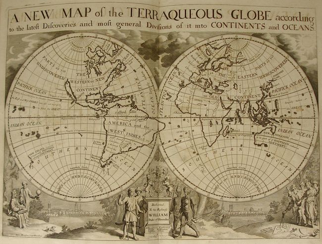
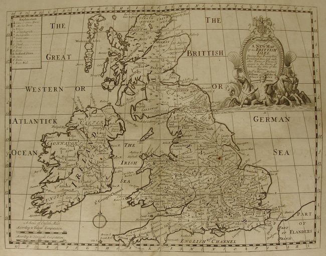
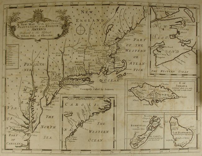
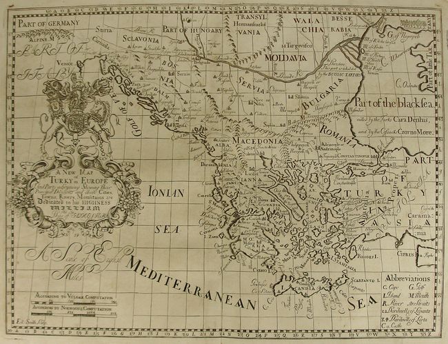
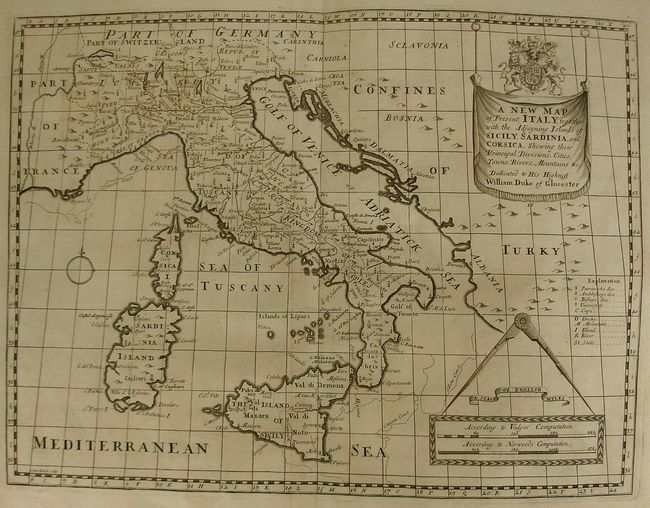
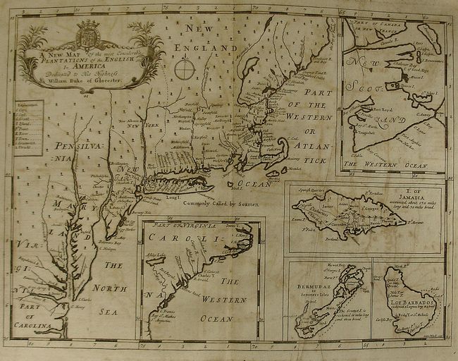
"A New Sett of Maps Both of Antient and Present Geography…", Wells, Edward

Subject: Atlases

Period: 1718 (dated)

Publication:

Color: Black & White

Size:
12.2 x 18 inches
31 x 45.7 cm
Download High Resolution Image
(or just click on image to launch the Zoom viewer)

This rarely offered folio atlas is complete with original full leather covers and marbled paper end papers. Complete with 41 double page copper engraved maps by the Oxford engravers M. Burghers, R. Spofforth and Sutton Nichols. The map collation agrees with the "Catalogue of Maps" page. The atlas contains in most cases two each map to show the ancient and modern configuration. The Americas stand on their own, with a single map each for North America and South America. Plus the English Plantations in America. Each map is on thick hand laid paper and carries a dedication "To his Highness William Duke of Gloucester." This second edition is identical to the first, 1700, edition save the date on the title page.

The Oxford scholar Wells produced these maps for the education of his young pupil William, Duke of Gloucester, the son of Queen Anne and George, Prince of Denmark. William suffered from encephalitis and died in 1700 at the age of eleven. Wells dedicated and published the atlas as a tribute to the Duke. A fine, complete early 18th Century atlas.

References: Phillips (A) 3479

Condition: A

The maps are feature beautiful, dark impressions, are sound with no splits of other problems except many show some light offsetting from the strong impression. Covers are rubbed and bumped with the front hinge starting to crack along spine. No previous owner marks or book plates, a very clean example.

Estimate: $14,000 - $18,000

Sold for: $11,000

Closed on 2/20/2008

Archived