Catalog Archive
Auction 123, Lot 778
"Asie. Iles Maldives et Laquedives. No. 107", Vandermaelen, Philippe Marie Guillaume
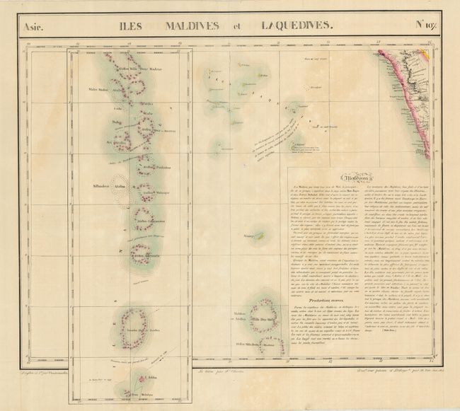
Subject: Indian Ocean, Maldives
Period: 1825-27 (published)
Publication: Atlas Universel…
Color: Hand Color
Size:
22.3 x 20.5 inches
56.6 x 52.1 cm
Download High Resolution Image
(or just click on image to launch the Zoom viewer)
(or just click on image to launch the Zoom viewer)