Catalog Archive
Auction 123, Lot 755

"Carte de l'Afrique", Barbie du Bocage, Jean-Guillaume
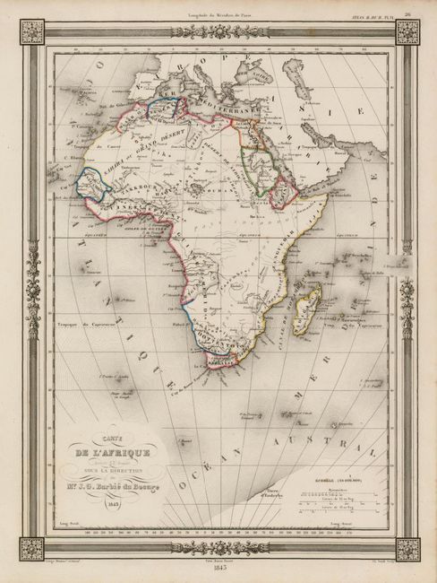
Subject: Africa

Period: 1845 (dated)

Publication: Atlas Illustre

Color: Hand Color

Size:
12 x 9 inches
30.5 x 22.9 cm
Download High Resolution Image
(or just click on image to launch the Zoom viewer)

This is plate VI from Barbie du Bocage's atlas, showing the continent with most of its settlements along the coast but with little interior development. The handsome, steel engraved map locates cities, villages, deserts, spurious topography and uses bright outline color to delineate political divisions. The map extends to include parts of Europe and Asia, which are largely blank. The interior of Africa is pays inconnus. A small portion of Antarctica is shown, with the only place name indicated being Terre d'Enderby. Messrs. Enderby, a well known whaling firm in London, dispatched an Antarctic voyage led by John Biscoe in 1830. When the expedition reached Antarctica, Biscoe decided to remain moored off the coast and attempt to create a more detailed chart. Eventually, poor health and low morale of the crew brought an end to the journey. Surrounded by a frame-style border with rococo flourishes, engraved by C. Smith, and published by Maison Basset.

References:

Condition: A

Beautiful, near fine example.

Estimate: $120 - $150

Sold for: $180

Closed on 2/20/2008

Archived