Catalog Archive
Auction 123, Lot 752

"[Lot of 7 - Africa]",

Subject: Africa

Period: 1766-1881 (circa)

Publication:

Color:

Size:
See Description
Download High Resolution Image
(or just click on image to launch the Zoom viewer)
A varied group of maps of Africa.

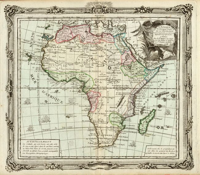
1) L'Afrique Dressee pour l'etude de la Geographie…par M. Brion, by Brion de la Tour, dated 1766. Beautifully engraved and detailed map with several ships, a decorative cartouche and an ornate border, with original color. (12 x 10.5"). Faint marginal toning, and a centerfold split repaired with archival tape on verso. Grade A.
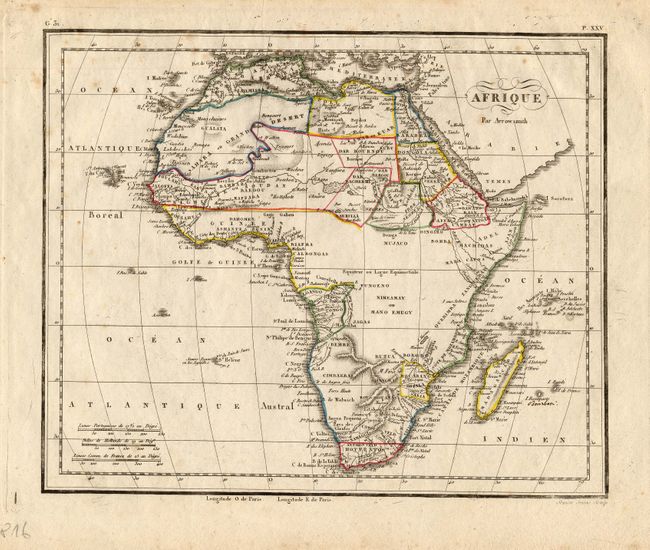
2) Afrique Par Arrowsmith with original outline color, circa 1816. The central area is left largely blank. Engraved by Semen Jeune (9.8 x 8"). A little faint foxing. Grade B+.
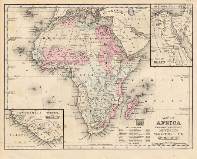
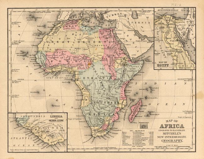
3) Map of Africa Engraved to Illustrate Mitchell's New Intermediate Geography. Insets of Map of Egypt and Liberia and Sierra Leone; a tiny inset of the state of Pennsylvania provides size comparison. Text on verso. 1881. (10.8 x 8.3"). A couple spots, Grade B+.
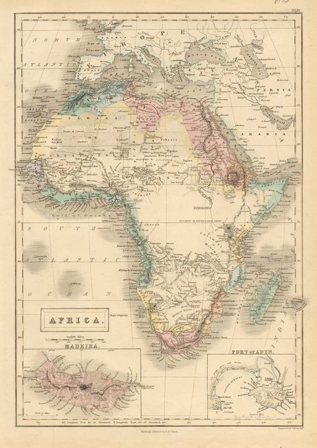
4) Africa by Sidney Hall, circa 1850, insets of Madeira and the Port of Aden, with original coloring. (10.3 x 14.5"). Grade A.
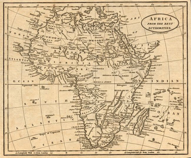
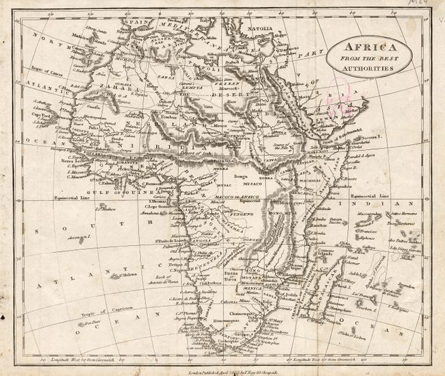
5) Africa from the Best Authorities is a nicely engraved and detailed black and white map with numerous placenames, by Baker Islington, 1823, London (9 x 7.5"). Grade A.
6) Africa From the Best Authorities, is a black and white map by T. Tegg, London, dated 1823. The map has excellent coastal detail for its size. (9 x 7.5"). An ink drawing on verso shows through. Some soiling. Grade B.
7) Map of Africa Engraved to Illustrate Mitchell's New Intermediate Geography. Insetsof Map of Egypt and Liberia and Sierra Leone; a tiny inset of the state of Pennsylvania provides size comparison. Text on verso. 1881. (10.8 x 8.3") A couple spots, Grade B+

References:

Condition:

See individual descriptions.

Estimate: $180 - $240

Sold for: $210

Closed on 2/20/2008

Archived