Catalog Archive
Auction 123, Lot 571
"Oswiecz, et Zator", Ortelius/Vrients
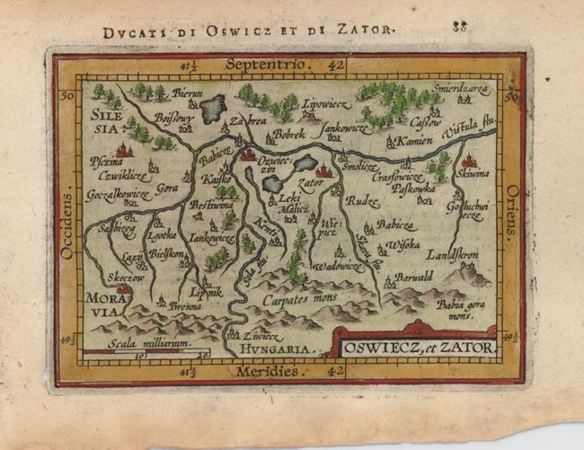
Subject: Poland
Period: 1601 (circa)
Publication: Epitome theatri orbis terrarum
Color: Hand Color
Size:
4.8 x 3.3 inches
12.2 x 8.4 cm
Download High Resolution Image
(or just click on image to launch the Zoom viewer)
(or just click on image to launch the Zoom viewer)