Catalog Archive
Auction 123, Lot 551

"Duitschlandt", Sanson, Nicolas

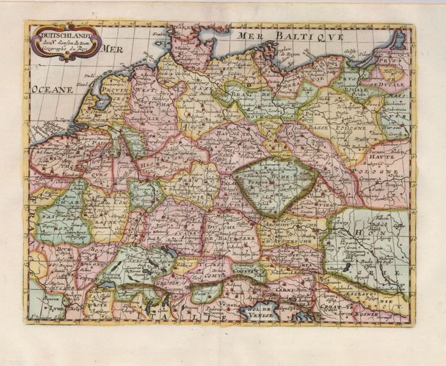
Subject: Central Europe, Germany

Period: 1705 (circa)

Publication:

Color: Hand Color

Size:
9.5 x 7.3 inches
24.1 x 18.5 cm
Download High Resolution Image
(or just click on image to launch the Zoom viewer)

A sharply engraved map covering the extent of the German Empire, which stretched from Belgium through Poland and from the Baltic Sea to the Gulf of Venice. The map shows the political divisions and major cities and towns. It is adorned with a strapwork title cartouche and was engraved by A. d'Winter for an uncommon Dutch edition.

References:

Condition: A+

Estimate: $110 - $140

Sold for: $70

Closed on 2/20/2008

Archived