Catalog Archive
Auction 123, Lot 481
"Fossa Eugeniana quae a Rheno ad Mosam Duci Coepta…", Hondius, Henricus
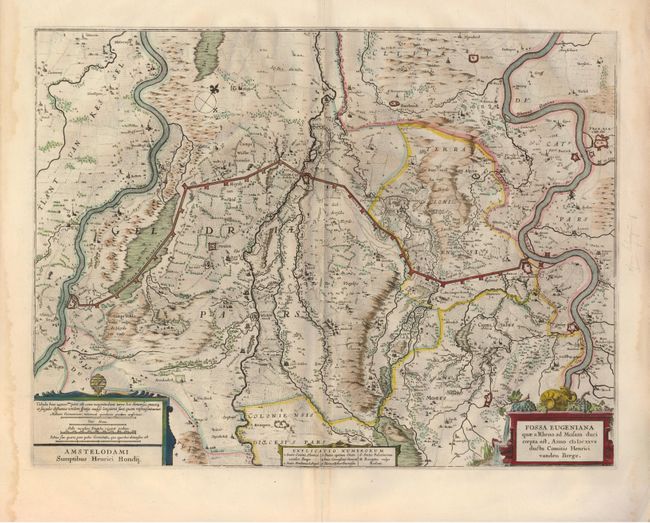
Subject: Northern Europe, Netherlands and Germany
Period: 1638 (circa)
Publication:
Color: Hand Color
Size:
19.5 x 14.5 inches
49.5 x 36.8 cm
Download High Resolution Image
(or just click on image to launch the Zoom viewer)
(or just click on image to launch the Zoom viewer)