Catalog Archive
Auction 123, Lot 384

"Charte von West Indien Nach Edwards, de la Rochette und den Neuesten Astronomischen Beobachtungen Entworfen…", Gussefeld, Franz Ludwig
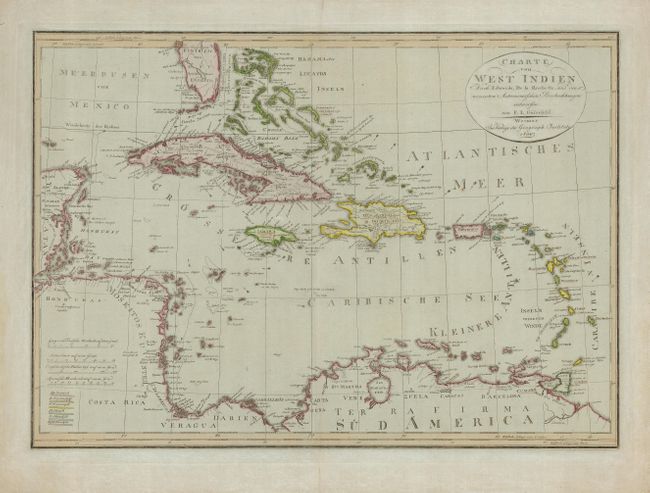
Subject: Caribbean

Period: 1804 (dated)

Publication:

Color: Hand Color

Size:
24.5 x 17.5 inches
62.2 x 44.5 cm
Download High Resolution Image
(or just click on image to launch the Zoom viewer)

A strongly engraved map of the West Indies, including the Bahamas and extending to a portion of Central and South America. It is filled with place-names, and shows sailing routes, currents and hazards. A colored key in the lower left identifies the colonial possessions of Spain, England, France, the Netherlands, and Sweden.

References:

Condition: A

Nice original outline color. The sheet has some marginal soil and a couple of chips, not affecting the map. Centerfold reinforced with tissue on the verso. There are a couple of light rust spots in the map.

Estimate: $475 - $550

Sold for: $275

Closed on 2/20/2008

Archived