Catalog Archive
Auction 123, Lot 281

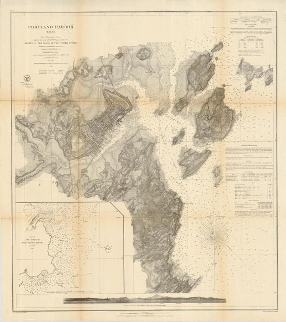
"Portland Harbor Maine", U.S. Coast Survey
Subject: Maine

Period: 1862 (dated)

Publication:

Color: Black & White

Size:
25.3 x 28.5 inches
64.3 x 72.4 cm
Download High Resolution Image
(or just click on image to launch the Zoom viewer)

A fine chart of Portland's harbor and its approaches, extending to Long Island. The interior is nicely developed to show terrain features including a street grid for Portland. Sailing directions provide ample guidance for mariners plus a listing of the locations of four lighthouses. The sea view profile at the bottom is from a distance of three miles. It clearly shows the town, plus locates the Portland Head lighthouse, Observatory, Bangs' Island, and White Head.

References:

Condition: B+

Issued folding, now pressed and backed with archival tissue. Full margins. The map has toning at two folds, mostly in upper left quadrant.

Estimate: $120 - $160

Sold for: $160

Closed on 2/20/2008

Archived