Catalog Archive
Auction 123, Lot 279
"Plan of the Front Part of the City of New Orleans, in 1818", U.S. Government
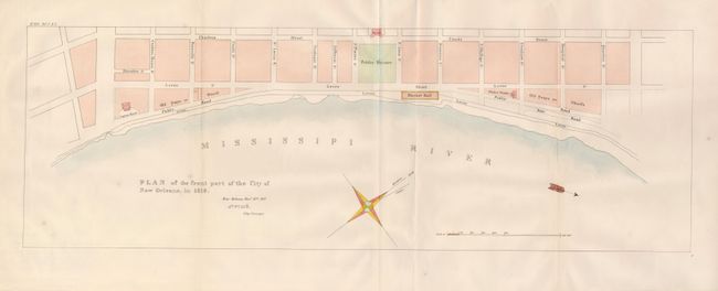
Subject: New Orleans, Louisiana
Period: 1827 (dated)
Publication: State Papers of U.S. 20th Cong., 1st Session
Color: Hand Color
Size:
22.3 x 7.5 inches
56.6 x 19.1 cm
Download High Resolution Image
(or just click on image to launch the Zoom viewer)
(or just click on image to launch the Zoom viewer)