Catalog Archive
Auction 123, Lot 184

"Florida", Sanson, Nicolas

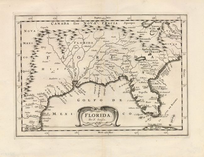
Subject: Colonial Southern United States

Period: 1679 (published)

Publication: Die Gantze Erd-Kugel

Color: Black & White

Size:
10 x 7 inches
25.4 x 17.8 cm
Download High Resolution Image
(or just click on image to launch the Zoom viewer)

This is a scarce edition of Sanson's influential map showing the Spanish and French possessions in the southern part of North America. It was published in only one edition by Johan David Zunners in his German translation of Sanson's maps. The map extends from the southernmost part of Virginia to the coast of what is now Texas. When first introduced by Sanson in 1657, this map was the first to use the name L. Erie in an atlas and to introduce several new rivers in Virginia. The French claims in the Carolinas are reasserted with the region named Florida Gallica, despite the region not having had any French presence for nearly 100 years. The place name Caroline is not related to the future English colony of Carolina, instead it is a confusion between the French Fort Caroline on the St. Johns River and Charlefort that was located near Port Royal. The map is crisply engraved with a simple decorative title cartouche.

References: Burden #512; cf Cumming (SE) #53.

Condition: A

Near fine save for an extremely faint damp stain along the centerfold.

Estimate: $600 - $700

Sold for: $500

Closed on 2/20/2008

Archived