Catalog Archive
Auction 123, Lot 178
"Neueste Karte von New Hampshire und Vermont", Meyer, Joseph
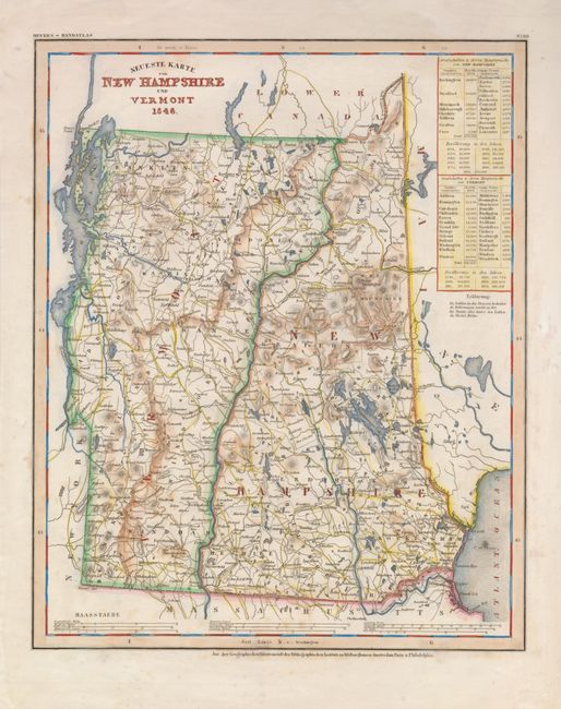
Subject: New Hampshire and Vermont
Period: 1846 (dated)
Publication: Meyer's Hand-Atlas
Color: Hand Color
Size:
12 x 15 inches
30.5 x 38.1 cm
Download High Resolution Image
(or just click on image to launch the Zoom viewer)
(or just click on image to launch the Zoom viewer)