Catalog Archive
Auction 123, Lot 127
"Karte von l'Isle Royale Entworfen von N. Bellin Ingenieur da la Marine", Bellin, Jacques Nicolas
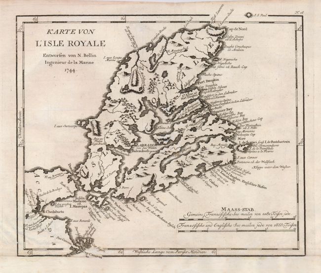
Subject: Canada, Cape Breton Island
Period: 1744 (dated)
Publication:
Color: Black & White
Size:
10.8 x 9 inches
27.4 x 22.9 cm
Download High Resolution Image
(or just click on image to launch the Zoom viewer)
(or just click on image to launch the Zoom viewer)