Catalog Archive
Auction 122, Lot 94

"Carte de l'Amerique et des Mers Voisines", Bellin, Jacques Nicolas

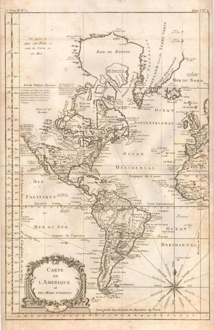
Subject: Western Hemisphere

Period: 1763 (dated)

Publication: La Petite Atlas Maritime

Color: Black & White

Size:
12 x 18 inches
30.5 x 45.7 cm
Download High Resolution Image
(or just click on image to launch the Zoom viewer)

A handsome map that shows the Western Hemisphere from Cape Horn to Baffin Bay, and from the Mer de l'Ouest , or Sea of the West to the western fringes of Europe and Africa. The Northwestern United States and Canada are unexplored and left blank but for several notations. A bold engraving on thick paper decorated with an attractive rococo-style cartouche and compass rose.

References:

Condition: B

Lightly foxed, mostly at right and along bottom. A nice, crisp impression on very thick hand laid paper with watermark. Folding, as issued.

Estimate: $200 - $250

Sold for: $275

Closed on 12/5/2007

Archived