Catalog Archive
Auction 122, Lot 890

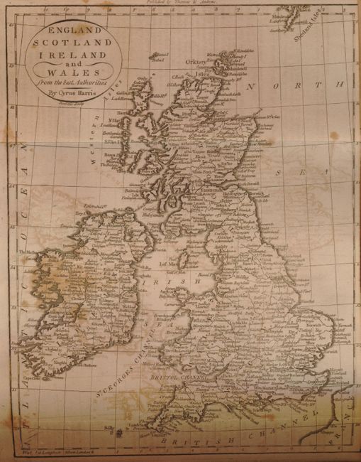
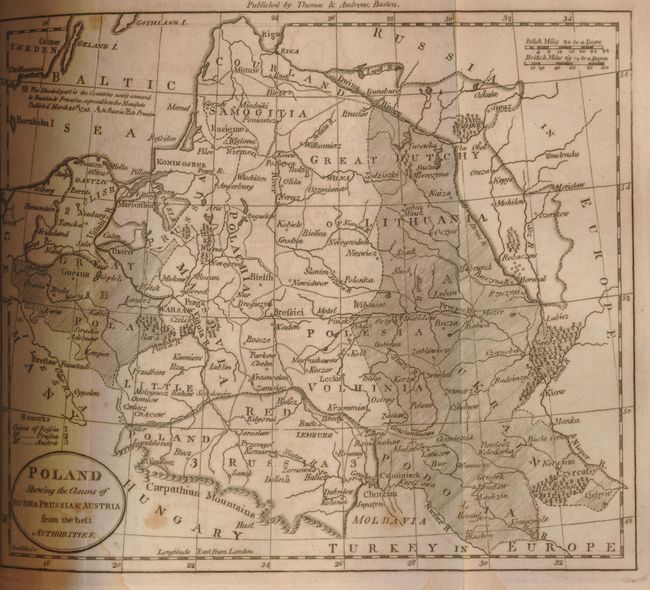
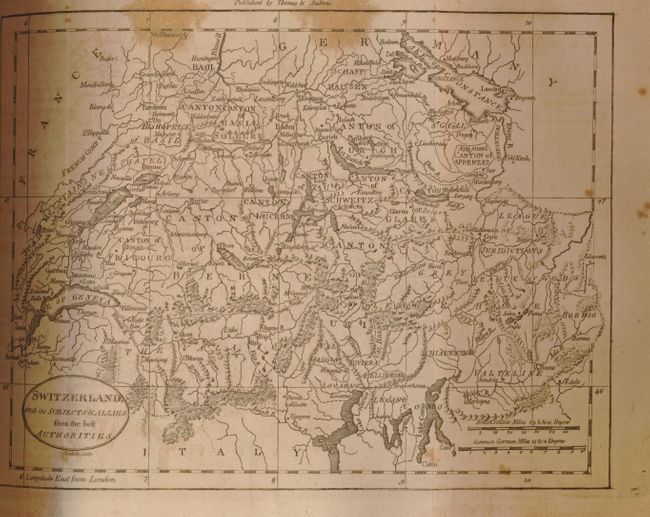
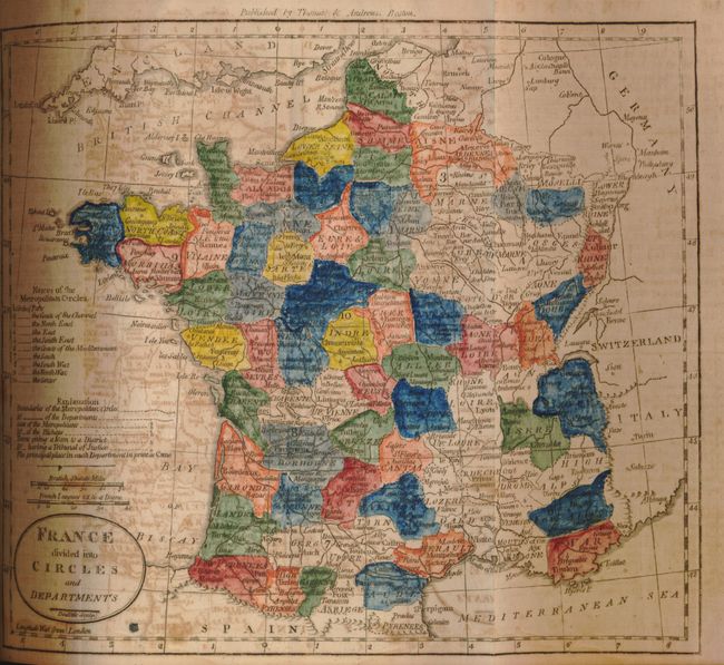
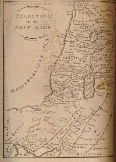
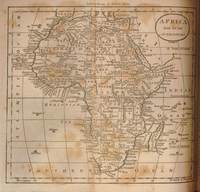
"The American Universal Geography, or, a View of the Present State of all the Empires, Kingdoms, States, and Republics in the Known World, and of the United States of America in Particular. Part Two", Morse, Jedidiah (Rev.)

Subject: Geography Books

Period: 1796 (dated)

Publication:

Color: Black & White

Size:
6 x 8.3 inches
15.2 x 21.1 cm
Download High Resolution Image
(or just click on image to launch the Zoom viewer)

This is the second edition of Part II, which focuses on the Eastern Hemisphere. This highly regarded geography contains 692 pages of text with ten foldout maps and numerous tables interspersed throughout. The maps include nicely engraved examples of the continents of Europe, Asia and Africa, and some of their individual countries. Europe is the frontispiece. The map of Poland shows the country divided into claims by Russia, Prussia and Austria. A charming Palestine or the Holy Land map shows the path and encampments of the wandering children of Israel. Jedidiah Morse, a respected clergyman and philanthropist, was one of America's most influential cartographers and his work remains in great demand. An early American Geography. This complete 8vo atlas has been rebound in marbled boards and burgundy cloth spine. Title is typewritten on a separate label and pasted down on the spine. A small label pasted inside the front cover mistakenly advertises this as a first edition.

References:

Condition: B+

The maps of Europe and Africa have split in half along a fold. The map of France has been colored. The text has just occasional foxing. The maps generally have a little light foxing or offsetting. Covers lightly worn, mostly along edges. Hinges are starting to split at extremities. Signatures tight.

Estimate: $150 - $250

Sold for: $150

Closed on 12/5/2007

Archived