Catalog Archive
Auction 122, Lot 815

"[Lot of 2] Oceanie [together with] Oceana or Pacific Ocean", [blank]

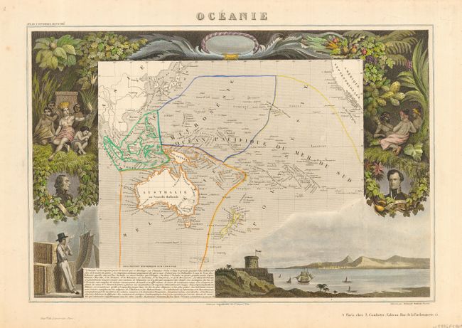
Subject: South Pacific Ocean - Oceania

Period: 1840-1850 (circa)

Publication:

Color: Hand Color

Size:
See Description
Download High Resolution Image
(or just click on image to launch the Zoom viewer)

Victor Levasseur's "Atlas National Illustre" and "Atlas Universel Illustre" are among the last decorative atlases published. The maps are all lavishly illustrated with scenes of the countryside, products and activities indigenous to the region.

A handsome pair of mid-19th century maps of the Pacific region.

1) Oceanie is an attractive map from one of the last decorative atlases of the nineteenth century, created by Victor Levasseur circa 1840. The map covers the entire South Pacific, divided into four parts. Malaisie includes the islands of Southeast Asia. Micronesie includes the island groups between the Philippines and Hawaii. Melanesie includes Australia, New Guinea, the Solomon Islands and Fiji. The largest division of Polynesie incorporates New Zealand and rest of the islands in the Pacific. The surrounding steel engraved scenes were created by Raimond Bonheur and feature the natives of the region, portraits of French leaders, lush native foliage and a harbor vignette. (16.5 x 11")
2) Oceana or Pacific Ocean by Thomas Cowperthwaite and Samuel Augustus Mitchell, circa 1850. This map details the Pacific Rim with an inset map of the Antarctic coast discovered by Wilkes. The colonial possesions are noted by color, and the key to the map notes that the islands which have been most successful for the missionaries have been underscored. (14 x 11")

References:

Condition: A

1) A trace of very faint foxing, mostly confined to the margins. Original outline color on the map and later color on the vignettes. 2) Original color, close margins, as issued.

Estimate: $180 - $220

Sold for: $160

Closed on 12/5/2007

Archived