Catalog Archive
Auction 122, Lot 801

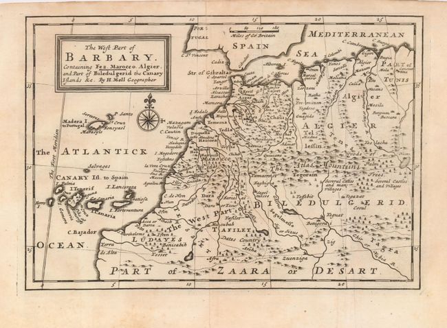
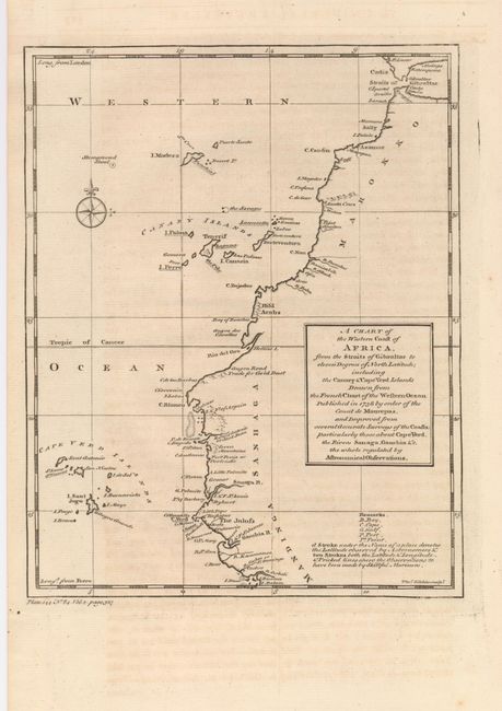
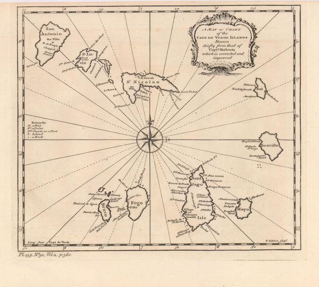
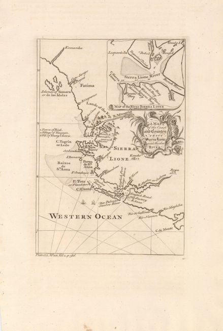
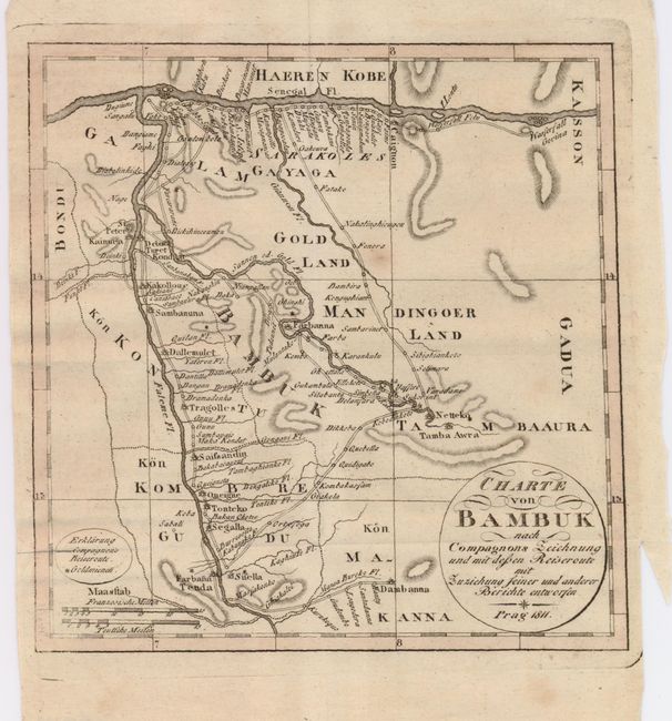
"[Lot of 5 - West Africa]", [blank]

Subject: Western Africa

Period: 1745-1811 (circa)

Publication:

Color: Black & White

Size:
See Description
Download High Resolution Image
(or just click on image to launch the Zoom viewer)

An interesting group of maps relating to West Africa, spanning the 18th and 19th centuries.

\ 1) The West Part of Barbary Containing Fez, Marocco, Algier, and Part of Biledulgerid the Canary Islands &c. Created by Herman Moll and published in Osborne's voyages in 1745, this handsome map of the Barbary coast includes Madeira and the Canary Islands. The interior is engraved with mountains and forests of palm trees. Title is in a block style cartouche and a nice compass rose adorns the map. (10 x 7").
2) A Chart of the Western Coast of Africa, from the Straits of Gibraltar to eleven Degrees of North Latitude; Including the Canary & Cape Verd Islands Drawn from the French Chart of the Western Ocean Published in 1738 by Order of the Count de Maurepas… Engraved by Thomas Kitchin, circa 1752. This map extends from the northern tip of Africa south along the western coast to just past Cape Verde, including the Cape Verde Islands (7.8 x 9.8").
3) A Map or Chart of the Cape de Verde Islands Drawn Chiefly from that of Captn. Roberts which is Corrected and Improved. Engraved by Thomas Kitchin, circa 1752. This map is features a lovely compass rose, oriented in the center of the Cape Verde Islands (8.7 x 7.6").
4) A Map of the Coast and Country about Sierra Lione and Sherbro River, circa 1752. This map is focused on the Sierra Leone region of West Africa, inset of the estuary at top. It is enhanced by a delicate cartouche (6 x 8.5").
5) Charte von Bambuk nach Compagnons Zeichnung und mit Dessen Reiseroute mit Zuxichung seiner und Anderer Berichte Entworfen, 1811, engraved in Prague. This small map shows the confluence of the Senegal and Faleme Rivers in Mali and Senegal, with details of roads, towns and gold mines (6.7 x 6.8").

References:

Condition: A

All maps sound, some with a little toning. Map 5 with close margins as issued, still sufficient for framing.

Estimate: $250 - $400

Sold for: $180

Closed on 12/5/2007

Archived