Catalog Archive
Auction 122, Lot 757

"Tab. XII. Asiae, Taprobanam Repraesentans…", Ptolemy/Mercator
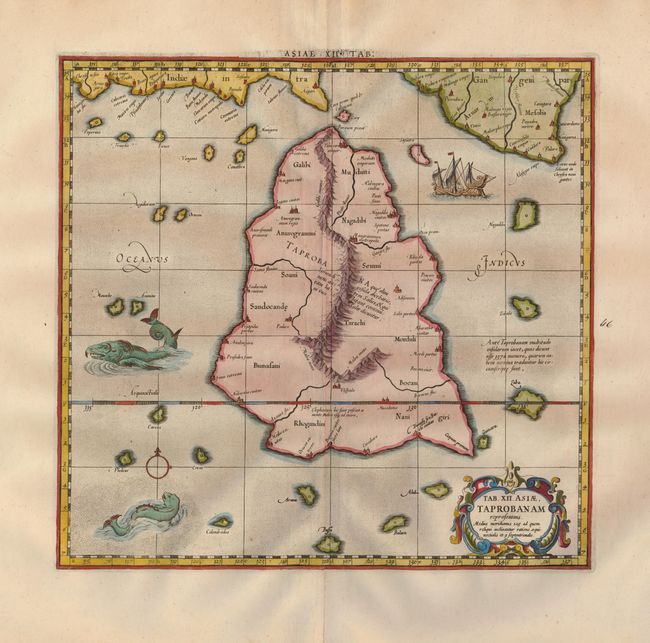
Subject: Sri Lanka

Period: 1730 (published)

Publication: Claudii Ptolemaei's Atlas Tabulae geographicae Orbis Terrarum

Color: Hand Color

Size:
14 x 13.3 inches
35.6 x 33.8 cm
Download High Resolution Image
(or just click on image to launch the Zoom viewer)

This is a superb example of this Ptolemaic map of Sri Lanka. Ptolemy drew on the accounts of travelers and sailors and though the information was secondhand and often inaccurate it represented the most advanced account of the world's geography at that time. This map depicts the island with the typical misconceptions of Ptolemy with the island straddling the Equator and nearly divided by a ridge of mountains. A small part of India is incorrectly shown in the northeast corner of the map. The stipple engraved sea is filled with an oriental ship and two great sea monsters. The handsome map is further embellished with a strapwork title cartouche. This map is from the last edition of Ptolemy's Geography, having been published numerous times from 1477 to 1730.

References:

Condition: A

Fine, sharp impression with wide original margins. There is a manuscript page number in right blank margin.

Estimate: $275 - $350

Sold for: $325

Closed on 12/5/2007

Archived