Catalog Archive
Auction 122, Lot 733

"Tab. II. Asiae Sarmatiam Asiaticam repraesentans", Ptolemy/Mercator
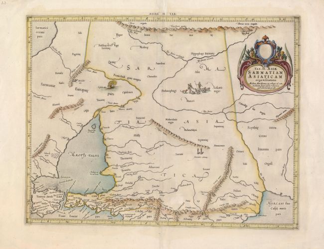
Subject: Caucasus

Period: 1698 (circa)

Publication: Claudii Ptolemaei's Atlas Tabulae geographicae Orbis Terrarum

Color: Hand Color

Size:
18 x 14 inches
45.7 x 35.6 cm
Download High Resolution Image
(or just click on image to launch the Zoom viewer)

This lovely map covers the region between the Black and Caspian Seas, north to the Hyperborie Montes and south to include the Bosphorus Strait. An illustration of the Alexandrii Columne is featured near the center of the map and a group of shepherds are shown with their flock. Mercator originally published this map in his 1578 edition of Ptolemy's great Geography. Although he is most renowned today for the projection he popularized and for first using the term Atlas for a collection of maps, he devoted much of his life to his Ptolemaic maps. The maps were beautifully engraved as nearly as possible to their original form and embellished with fine cartouches and cultural scenes.

References:

Condition: B

A nice impression with a repaired worm track that includes a little facsimile on the lower centerfold, just above the border. The margins have a couple of short tears, not affecting the map.

Estimate: $240 - $300

Sold for: $180

Closed on 12/5/2007

Archived