Catalog Archive
Auction 122, Lot 721

"Tab. VI. Asiae, Arabiam Felicem, Carmaniam ac Sinum Persicum Comprehendens", Ptolemy/Mercator
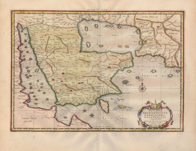
Subject: Arabia

Period: 1730 (published)

Publication: Claudii Ptolemaei's Atlas Tabulae geographicae Orbis Terrarum

Color: Hand Color

Size:
18.8 x 13.1 inches
47.8 x 33.3 cm
Download High Resolution Image
(or just click on image to launch the Zoom viewer)

This classical map is a landmark in the mapping of the Arabia Peninsula. Ptolemy drew on the accounts of travelers and sailors and though the information was secondhand and often inaccurate it represented the most advanced account of the world's geography at that time. In the case of Arabia, Ptolemy overestimated both the width of the southern part of Arabia and the size and shape of the Persian Gulf. Arabia Petrea and Arabia Deserte are both placed in the north and Arabia Foelix is the term applied to the whole peninsula, rather than to the southern portions of it. Ptolemy's map, as interpreted by European cartographers such as Mercator, was hugely influential and served as a standard for European mapping of the peninsula for many years. This map is from the last edition of Ptolemy's Geography, having been published numerous times from 1477 to 1730.

References: Tibbetts #40.

Condition: B

Clean and crisp with wide original margins. There are some blank manuscript ink notations within map, else very good.

Estimate: $400 - $500

Sold for: $400

Closed on 12/5/2007

Archived