Catalog Archive
Auction 122, Lot 483

"Estats des Couronnes de Dannemark, Suede, et Pologna sur la Mer Baltique…", Fer, Nicolas de
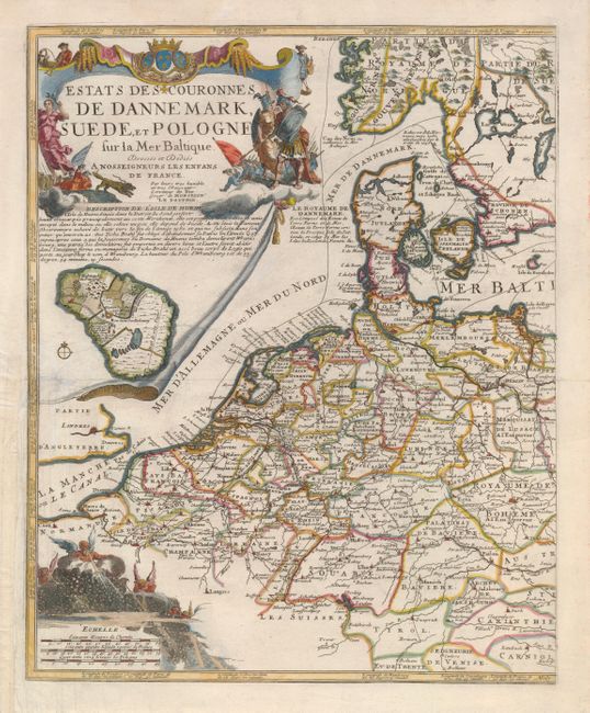
Subject: Baltic

Period: 1702 (circa)

Publication:

Color: Hand Color

Size:
14 x 17.5 inches
35.6 x 44.5 cm
Download High Resolution Image
(or just click on image to launch the Zoom viewer)

This is the more decorative portion of De Fer's two-sheet map of northern Europe. This part shows the Low Countries, Germany, the Czech Republic, Denmark, and a portion of Sweden. An elaborate cartouche fills the left corner of the map with scenes of war and victory, and below that is an inset map of Hven Island, the location of Tycho Brahe's observatory. The scale of miles cartouche is festooned with windheads blowing strong, wintry winds.

References:

Condition: B

Nice impression and attractive color. The left binder's margin has paper added to facilitate framing. A repaired tear at left extends into the map about 4.5".

Estimate: $275 - $325

Sold for: $180

Closed on 12/5/2007

Archived