Catalog Archive
Auction 122, Lot 454

"Carte Chronologique des Etats & Empires du Monde qui se sont Formez de la Chute de l'Empire Romain depuis…", Chatelain, Henry Abraham
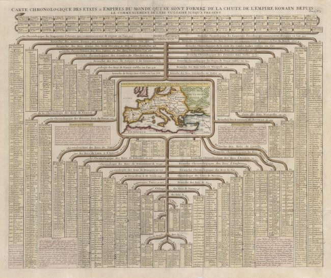
Subject: Europe

Period: 1720 (circa)

Publication: Atlas Historique et Methodique

Color: Hand Color

Size:
23.2 x 19.5 inches
58.9 x 49.5 cm
Download High Resolution Image
(or just click on image to launch the Zoom viewer)

This interesting sheet has a small map of Europe at the center and chronological tables tracing the ancestry of the royal houses of the known world from the time of Julius Caesar to the early eighteenth century. The royal lines include the kings of Peru, Japan, Morocco and the Moguls, as well as the European royalty. The map, titled "Carte Pour Indiquer la Situation des Etats & Empires des Empereurs Rois & Princes Mentionnez dans cette Carte" measures 6.5 x 3.7".

References:

Condition: A

A nice impression on strong sheet with some short marginal tears that have been reinforced on the verso with tissue. Issued folding, now flattened.

Estimate: $250 - $350

Sold for: $300

Closed on 12/5/2007

Archived