Catalog Archive
Auction 122, Lot 451

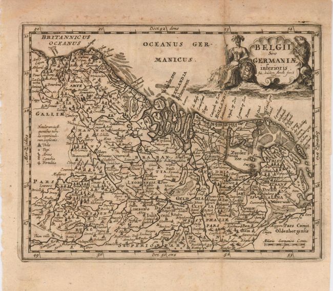
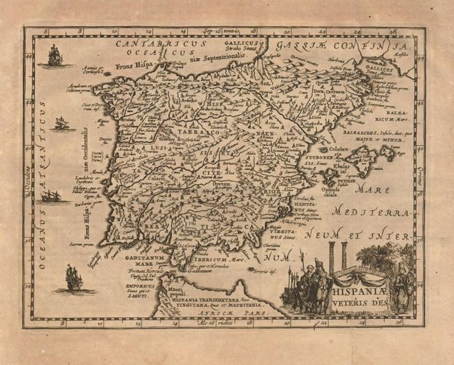
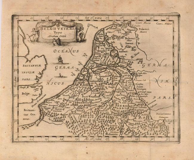
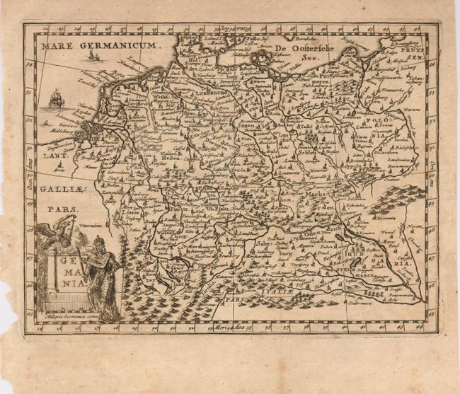
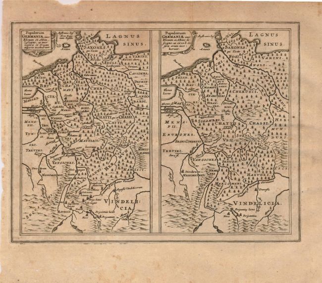
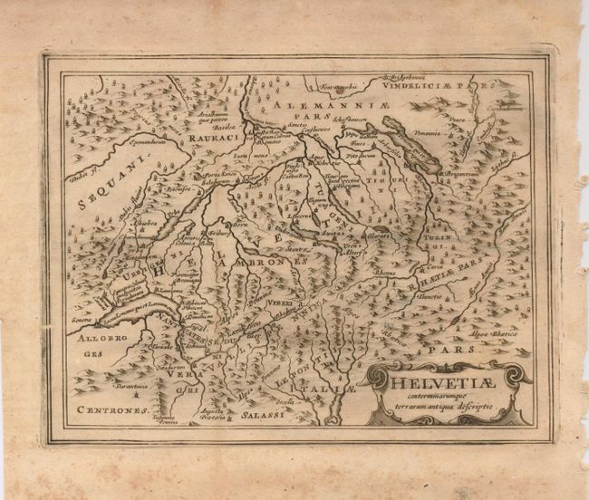
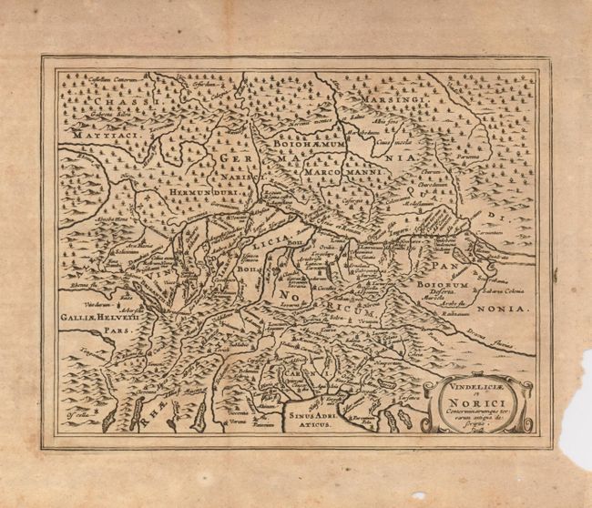
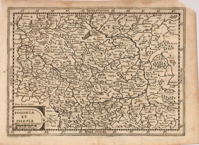
"[Lot of 8 - European Regions]", Cluver, Philipp

Subject: Europe

Period: 1680 (circa)

Publication: Introductionis in Universam Geographicam

Color: Black & White

Size:
See Description
Download High Resolution Image
(or just click on image to launch the Zoom viewer)

Nice group of maps based on the work of the important cartographers. All are around 8 x 6" except for the last map, which is 10 x 7.2". Each includes a decorative cartouche and is filled with place names.

1) Belgii sive Germaniae Inferioris is a fine little map of Holland and Belgium based on Hondius' map of the Low Countries. The title cartouche is engraved onto a clamshell and is flanked by an allegorical woman and a lion. Engraved by Jan van den Avelen.
2) Hispaniae Veteris Des is an attractive map of the Iberian Peninsula in classical times. It is based on Ortelius' map of the same title from information gleaned from Carolus Clusius' map of 1571 as well as classical sources. Military title cartouche and great little sailing vessels embellish the map.
3) Belgii Veteris Typus Abrahami Ortelii. A fine map of this historic region with many ancient place names based on the work of Ortelius.
4) Germania is a map of the German Empire showing the river systems, mountains, forests and major cities. The map is adorned with an allegorical title cartouche and sailing ships.
5) Populorum Germania inter Rheman et Albim Descripto, ut inter Caesaris et Trajani imperia incohierunt / Populorum Germania inter Rheman et Albim Descripto, ut circa I. Caesaris aeyum incoluerunt features two maps of historical Germany on a single sheet. The two maps appear identical at first glance, but actually are a comparison of the region during the reigns of different Roman Emperors. Both with strapwork title cartouches.
6) Helvetiae conterminarumque terrarum antiqua descriptio covers ancient Switzerland and shows the mountainous topography and classical place names.
7) Vindeliciae et Norici Conterminarumque terrarum antiqua descriptio. This historical map shows an important region of the old Roman Empire, covering parts of Germany, Austria, Switzerland, Hungary and Italy and is centered roughly on the important Danube River. A simple strapwork title cartouche adorns the map.
8) Polonia et Silesia is a map of Poland based on the earlier map by Gerard Mercator. Decorated with a simple cartouche enclosing the title and distance scale. (10 x 7.2")

References:

Condition: B

All maps sound with scattered foxing and toning, close margins on some and short, marginal tears. A few scattered wormholes, not affecting map; still a nice lot.

Estimate: $350 - $550

Sold for: $210

Closed on 12/5/2007

Archived