Catalog Archive
Auction 122, Lot 397

"Antigua, Surveyed by Robert Baker, Surveyor General of that Island", Jefferys, Thomas
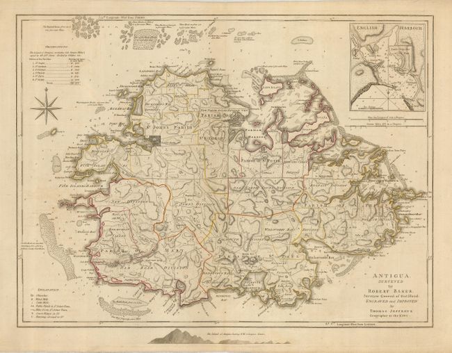
Subject: Antigua

Period: 1775 (published)

Publication: West-India Atlas

Color: Hand Color

Size:
24 x 18.2 inches
61 x 46.2 cm
Download High Resolution Image
(or just click on image to launch the Zoom viewer)

Handsome map of Antigua, reduced from Robert Baker's large survey of the island. The divisions and parishes are noted and a good network of roads wind through the landscape. The soundings and hazards are meticulously identified, with excellent notes of submerged rocks and other hidden dangers. A chart at the top of the map lists the acreages of each parish and the public places are noted in a chart at the bottom. English Harbour is shown in an inset map above and the approach to the island is shown below the map.

References:

Condition: A

An excellent impression on a very sturdy sheet with a trace of offsetting and original outline color.

Estimate: $700 - $900

Sold for: $500

Closed on 12/5/2007

Archived