Catalog Archive
Auction 122, Lot 351

"Amer. Sep. Partie de la Vieille Californie. No. 53", Vandermaelen, Philippe Marie Guillaume

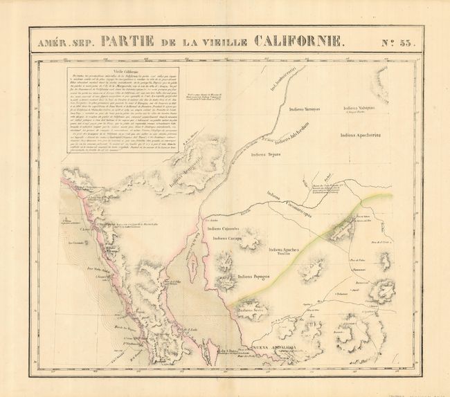
Subject: United States & Mexico

Period: 1825-27 (published)

Publication: Atlas Universel

Color: Hand Color

Size:
20.5 x 18.5 inches
52.1 x 47 cm
Download High Resolution Image
(or just click on image to launch the Zoom viewer)

Sheet shows the coast from San Juan de Capistrano to about Santa Rosalita, including the north end of the Sea of Cortez and the mouth of the Colorado River, and inland to Tucson (Pres. de Tubson). There are many notes on the Native tribes and the landmarks of San Xavier del Bac and Casa Grandes are shown. The Atlas Universel was the first atlas to present all the maps on the same scale (1: 1,641,836), with each map covering an area of approximately 20 degrees longitude (from Paris) and 6 degrees of latitude. It was also considered to be the first lithographic atlas ever published. The maps were meant to be joined together to form a huge globe measuring 7.775 meters in diameter. There was only one edition of the atlas, published in 1825-27, and the subscription list shows that only 810 copies were sold.

References:

Condition: A

Nice original color on a strong sheet with a couple minor marginal spots.

Estimate: $180 - $220

Sold for: $150

Closed on 12/5/2007

Archived