Catalog Archive
Auction 122, Lot 305
"Neueste Karte von New Jersey…", Meyer, Joseph
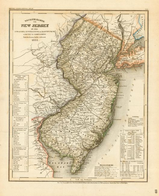
Subject: New Jersey
Period: 1851 (dated)
Publication: Grosser Zeitung Atlas
Color: Hand Color
Size:
11.8 x 14.5 inches
30 x 36.8 cm
Download High Resolution Image
(or just click on image to launch the Zoom viewer)
(or just click on image to launch the Zoom viewer)