Catalog Archive
Auction 122, Lot 281

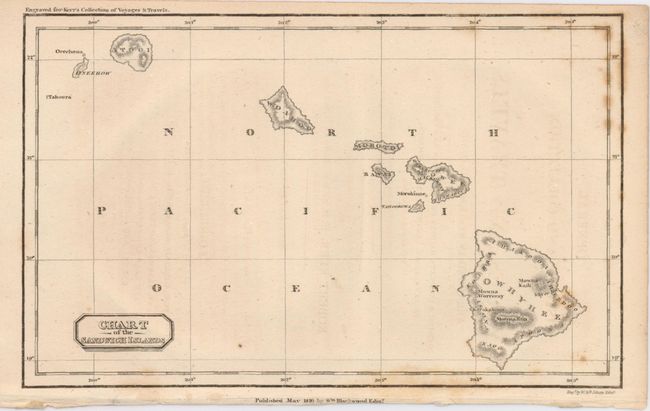
"[Lot of 2] Chart of the Sandwich Isles",

Subject: Hawaii

Period: 1816-33

Publication:

Color: Black & White

Size:
See Description
Download High Resolution Image
(or just click on image to launch the Zoom viewer)

A pair of nicely engraved maps of the islands showing topography in hachure.

1) This example names each of the islands, as well as several towns, bays and mountains. This attractive map shows the topography with hachure, and includes an inset of Oahu at lower left. A note regarding the death of Capt. Cook appears in Kearakekua Bay, on the southwestern side of the island of Hawaii. The map is nearly identical to the map that appeared in William Ellis' 1826 "Narrative of a Tour through Hawaii." ( 9.3 x 7"). Published by J. & J. Harper, New York, 1833.
2) This map was published for "Kerr's Collection of Voyages & Travels," and shows many of the place names spelled phonetically, i.e. Mowee. Topography shown by hachure and a simple title cartouche. (7.5 x 4.7"). Published by Wm. Blackwood, Edinburgh, 1816.

References:

Condition: B+

Map #1 has paper replaced in the binding trim at lower right margin, not affecting image. Map #2 is lightly toned with foxing in right border.

Estimate: $180 - $250

Sold for: $325

Closed on 12/5/2007

Archived