Catalog Archive
Auction 122, Lot 240

"Map Showing Country Explored by John Charles Fremont 1841-1854 Inclusive", Fremont, John Charles

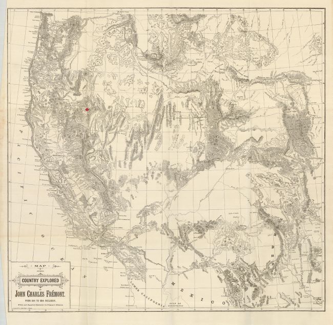
Subject: Western United States

Period: 1887 (published)

Publication: Memoirs of My Life

Color: Black & White

Size:
25 x 24.3 inches
63.5 x 61.7 cm
Download High Resolution Image
(or just click on image to launch the Zoom viewer)

A very scarce map distilling all of the information from Fremont's expeditions in the West from 1841 to 1854, extending from about Kansas to California and Oregon, including the regions of Arizona, New Mexico, Utah, Colorado, Washington, Oregon, Idaho, a portion of the Dakotas, Nebraska, Kansas and Nevada. The topography is very detailed, particularly in Arizona, noting the San Francisco Peaks, and in the southern part of the state, Mt. Graham is named near Tussone and Tubac. Only one volume of Frémont's autobiography was published in 1887, just three years before his death in 1890. His wife, Jessie Benton Frémont helped him write this book and wrote several works that give information about her husband's career. Fremont and his colleagues covered some 10,000 miles between the frontiers of the Missouri and the shores of the Pacific. Fremont's report of 1845 was the most widely read account of the West before the gold rush, and its contents and maps had a profound effect on the development of emigration routes. The expedition party included such notable explorers as the German topographical surveyor Charles Preuss, the American guides L. Maxwell and Christopher Kit Carson and the celebrated botanist John Torrey. Engraved by A. Zeese.

References:

Condition: B

Folding as issued. There is one red spot of ink in the map, and a couple very small fold separations.

Estimate: $200 - $275

Sold for: $800

Closed on 12/5/2007

Archived