Catalog Archive
Auction 121, Lot 854

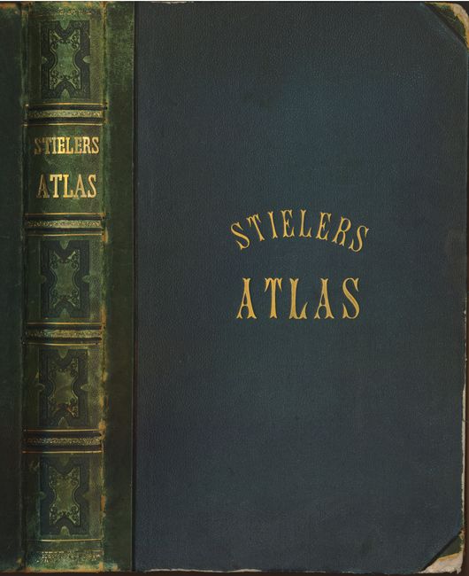
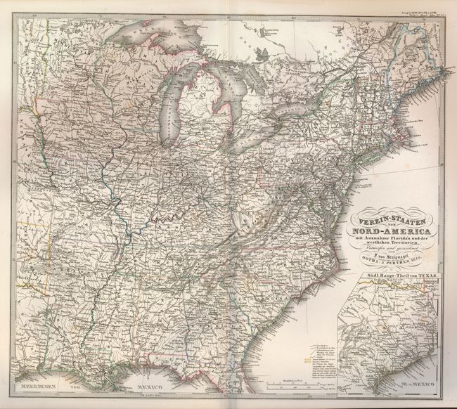
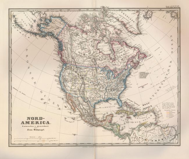
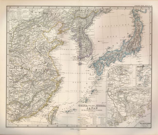
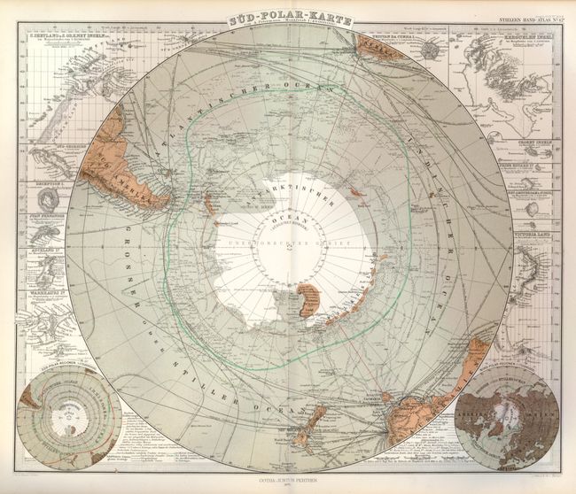
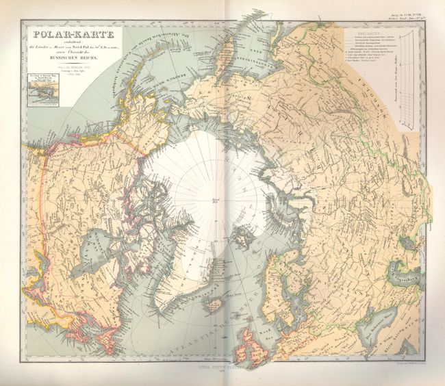
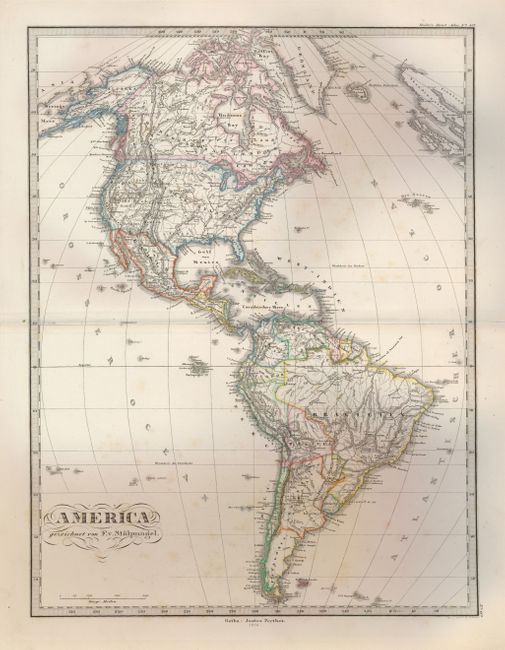
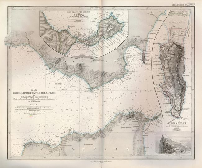
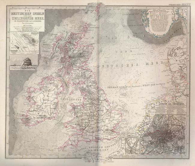
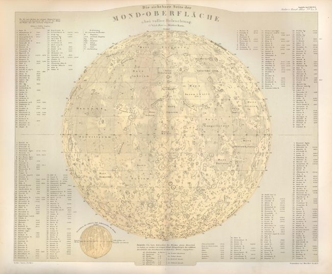
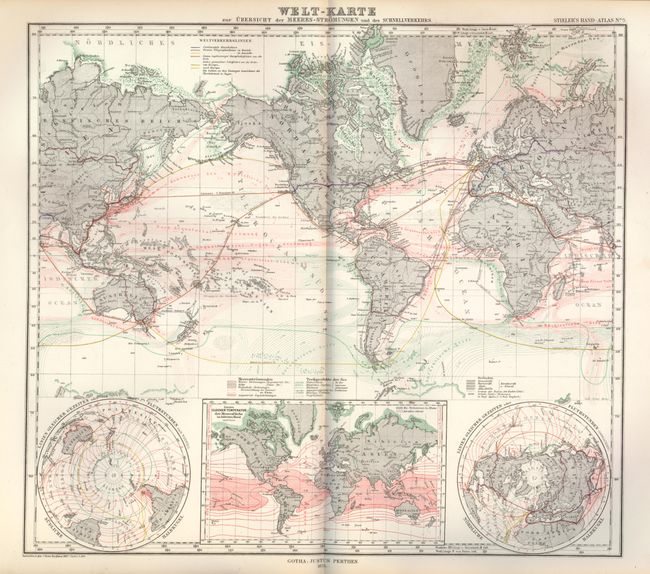
"Hand Atlas Uber und Alle Theile der Erde Uber Das Weltgebaude", Stieler

Subject: Atlases

Period: 1875 (dated)

Publication:

Color:

Size:
10 x 15 inches
25.4 x 38.1 cm
Download High Resolution Image
(or just click on image to launch the Zoom viewer)

This handsome atlas contains 84 steel engraved maps with a combination of hand coloring and printed color. Each map is a study in precision engraving, with exceptional detail. Of the maps, four are celestial, two are thematic, and the rest cover the continents and the polar regions. Most of the maps include insets of principal cities and topographical features. A beautifully engraved, two-sheet title page graces the front. Folio. Complete. Original hardcovers in green cloth and quarter leather spine and tips with gilt titles on front and spine. Published by Justus Perthes.

References:

Condition: B+

Maps are mostly good to very good with some light toning. Several maps have been marked with pencil, and the map of Prussia has ink notations. A couple have long (6") centerfold splits.

Estimate: $275 - $350

Sold for: $350

Closed on 9/26/2007

Archived