Catalog Archive
Auction 121, Lot 790
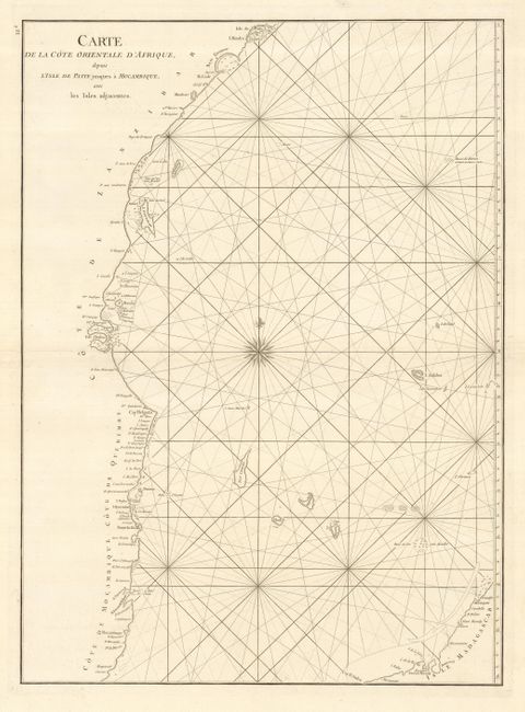
"Carte de la Cote Orientale d'Afrique depuis l'Isle de Patte jusques a Mocambique, avec les Isles adjacentes", Apres de Mannevillette, Jean B. N. D.
Subject: Africa - Eastern
Period: 1775-78 (circa)
Publication: Le Neptune Orientale
Color: Black & White
Size:
19 x 26 inches
48.3 x 66 cm
Download High Resolution Image
(or just click on image to launch the Zoom viewer)
(or just click on image to launch the Zoom viewer)