Catalog Archive
Auction 121, Lot 739

"Formosa Island and the Pescadores, China", U.S. Government
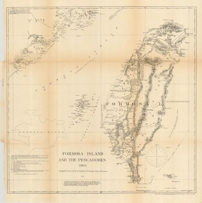
Subject: Taiwan

Period: 1871 (dated)

Publication: HR Doc. #18, 41st Congress, 3rd Session

Color: Black & White

Size:
20 x 19.8 inches
50.8 x 50.3 cm
Download High Resolution Image
(or just click on image to launch the Zoom viewer)

Uncommon chart showing the island of Taiwan in good detail. Political regions are named in English and with Chinese characters. Agricultural areas, towns, roads, and topography are shown. Interesting place names include Bantan Tribes, Bootang Tribes, Confederation of 18 Tribes Under One Chief, etc. A portion of mainland China named Fu-Kyen is included. The map was compiled by Gen. Chs. W. LeGendre, U.S. Consul, Amoy & Formosa. Interestingly, LeGendre was French born, but distinguished himself in the U.S. Army during the Civil War. A note indicates that observations by Commander Brookers suggest the east coast of Formosa is laid down about 3' too far west.

References:

Condition: B

A delicate map that is toned along folds. Some fold splits with small loss at two intersections. A small piece of tape on verso at binding edge.

Estimate: $250 - $300

Sold for: $180

Closed on 9/26/2007

Archived