Catalog Archive
Auction 121, Lot 735

"Carte du Kamtchatka", Laurent, J.
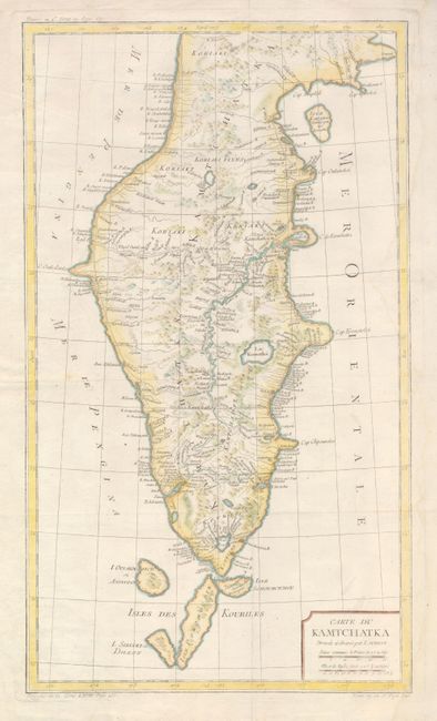
Subject: Kamchatka

Period: 1780 (published)

Publication: Abrege de l'Histoire Generale des Voyages

Color: Hand Color

Size:
11.8 x 20.5 inches
30 x 52.1 cm
Download High Resolution Image
(or just click on image to launch the Zoom viewer)

Handsome copper engraved map of the peninsula has excellent detail of the topography and watersheds including several lakes, river and stream names. Numerous roads and settlements are located. Includes the islands of Ouiakous Atch ou Anfinogen,Schoumctchou, and Sirinki ou Dilkon.

References: Phillips (A) #5991-70.

Condition: B+

Issued folding, now flattened. The map has some faint damp stain, however it does not detract from the map.

Estimate: $120 - $150

Sold for: $70

Closed on 9/26/2007

Archived