Catalog Archive
Auction 121, Lot 715

"Sourie ou Terre Saincte Moderne", de la Rue, Philippe
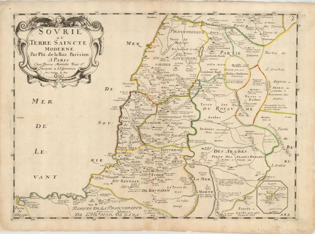
Subject: Holy Land

Period: 1651 (circa)

Publication:

Color: Hand Color

Size:
20.75 x 15.1 inches
52.7 x 38.4 cm
Download High Resolution Image
(or just click on image to launch the Zoom viewer)

This large map shows the various political divisions that made up the Holy land during the period of Turkish rule. The region depicted includes both sides of the Jordan River. At lower right is a small inset of the vicinity of Jerusalem. A large decorative title cartouche fills the upper left corner. Published by Pierre Mariette.

References: Laor #420.

Condition: B

Original outline color with an old repair on bottom centerfold without loss. Some faint toning and a couple of spots of foxing.

Estimate: $200 - $250

Sold for: $150

Closed on 9/26/2007

Archived