Catalog Archive
Auction 121, Lot 661

"Morea olim Peloponnesus", Blaeu, Willem
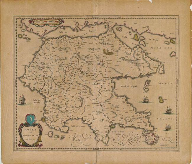
Subject: Greece

Period: 1640 (circa)

Publication:

Color: Hand Color

Size:
19.8 x 16 inches
50.3 x 40.6 cm
Download High Resolution Image
(or just click on image to launch the Zoom viewer)

The Peloponnesos peninsula in southern Greece was called Morea well into the 19th century. The narrow isthmus between the mainland and the peninsula on this map was bisected by the Corinth Canal, built in 1893, effectively turning the Peloponnesos peninsula into an island. The map is adorned with decorative strapwork cartouches and four sailing ships. Latin text on verso.

References:

Condition: B

Faded original color on an evenly toned sheet with a repaired tear on the lower centerfold. The margins have a number of chips and some short tears, not affecting the map.

Estimate: $200 - $250

Sold for: $150

Closed on 9/26/2007

Archived