Catalog Archive
Auction 121, Lot 633

"Tab. VIII. Europae, in qua Sarmatia, Maeotis palus, ac Germaniae, Daciae pars", Ptolemy/Mercator

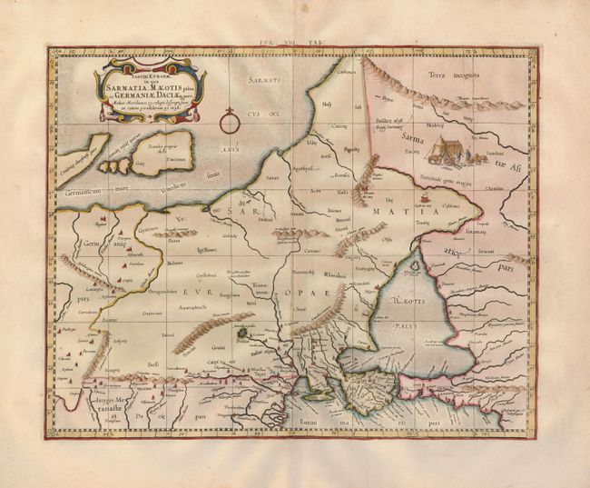
Subject: Europe - Eastern

Period: 1698 (circa)

Publication: Claudii Ptolemaei's Atlas Tabulae geographicae Orbis Terrarum

Color: Hand Color

Size:
16.7 x 13.3 inches
42.4 x 33.8 cm
Download High Resolution Image
(or just click on image to launch the Zoom viewer)

A crisply engraved Ptolemaic map covering the region from the Wista River eastward. Includes the Sea of Azov and the Baltic Sea. Engraved with rope-like mountains, ancient placenames and a nomadic group. Mercator originally published this map in his 1578 edition of Ptolemy's great Geography. Although he is most renowned today for the projection he popularized and for first using the term Atlas for a collection of maps, he devoted much of his life to his Ptolemaic maps. The maps were beautifully engraved as nearly as possible to their original form and embellished with fine cartouches.

References:

Condition: A

Fine impression on a wide-margined sheet with some minor toning.

Estimate: $250 - $300

Sold for: $350

Closed on 9/26/2007

Archived