Catalog Archive
Auction 121, Lot 382
"A Map of the Island of Tobago, Drawn from an Actual Survey", Bowen, Thomas
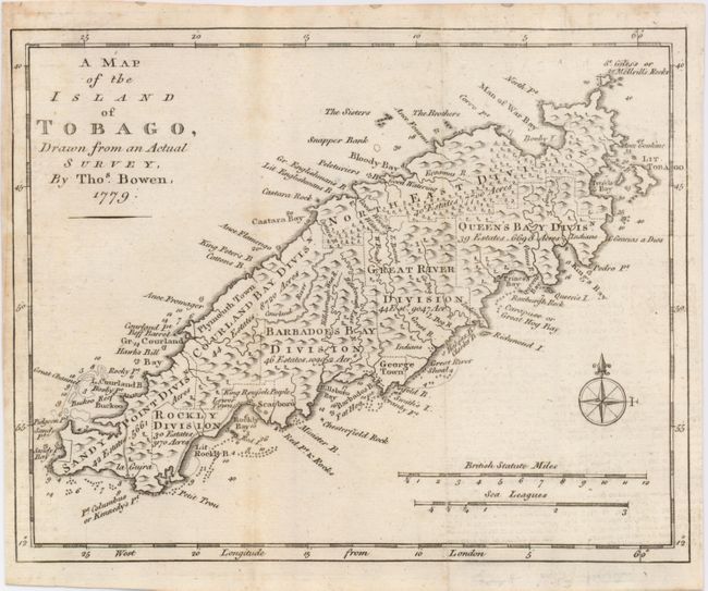
Subject: Tobago
Period: 1779 (dated)
Publication: Gentleman's Magazine
Color: Black & White
Size:
9.5 x 7.5 inches
24.1 x 19.1 cm
Download High Resolution Image
(or just click on image to launch the Zoom viewer)
(or just click on image to launch the Zoom viewer)