Catalog Archive
Auction 121, Lot 353

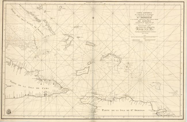
"Carta Esferica que comprehende los desemboques Al Norte de la Isla de Sto. Domingo y la parte Oriental del Canal Viejo de Bahama...", Direccion de Hidrografia
Subject: Greater Antilles

Period: 1802 (dated)

Publication: Atlas maritimo espanol…

Color: Black & White

Size:
35.2 x 22.9 inches
89.4 x 58.2 cm
Download High Resolution Image
(or just click on image to launch the Zoom viewer)

Large and rarely seen Spanish chart covers eastern Cuba, northwest Hispaniola and the lower Bahamas including the Turks & Caicos Island. There is good detail of navigational hazards, soundings and many place names along the coastlines. Filled with rhumb lines, this chart also features a fleur-de-lys, the seal of the Deposito Hidrografico and some very nice lettering in title.

References:

Condition: A

A very nice example with faint foxing and light marginal soil.

Estimate: $300 - $400

Sold for: $275

Closed on 9/26/2007

Archived