Catalog Archive
Auction 121, Lot 334

"Mexico & Guatemala", Thomas, Cowperthwait & Co.

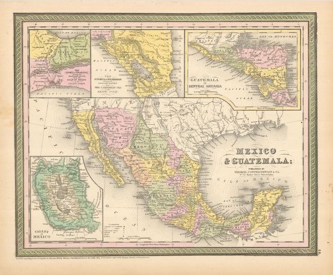
Subject: Mexico, Central America

Period: 1850 (dated)

Publication:

Color: Hand Color

Size:
15 x 12 inches
38.1 x 30.5 cm
Download High Resolution Image
(or just click on image to launch the Zoom viewer)

This pre-Gadsden Purchase map extends into present day Arizona and New Mexico with the border following the Gila River. Across the top are large insets of The Isthmus of Tehantepec Showing the Proposed Route from the Gulf of Mexico Sea to the Pacific Ocean, The Isthmus of Nicaragua Showing the Proposed Routes from the Caribbean Sea to the Pacific Ocean, and Guatemala or Central America and inset at bottom left is Valley of Mexico with its two large lakes and Mexico City. The map locates and names many Indian Tribes. Early California towns are named including Los Angeles, plus the three missions of San Juan, San Luis Rey and San Diego and the Baja is labeled Lower California.

References:

Condition: B+

A crisp impression on bright paper, with light foxing, primarily in blank margins. There is a small hole in the border at lower left.

Estimate: $110 - $130

Sold for: $55

Closed on 9/26/2007

Archived